A Great Start to a New Year
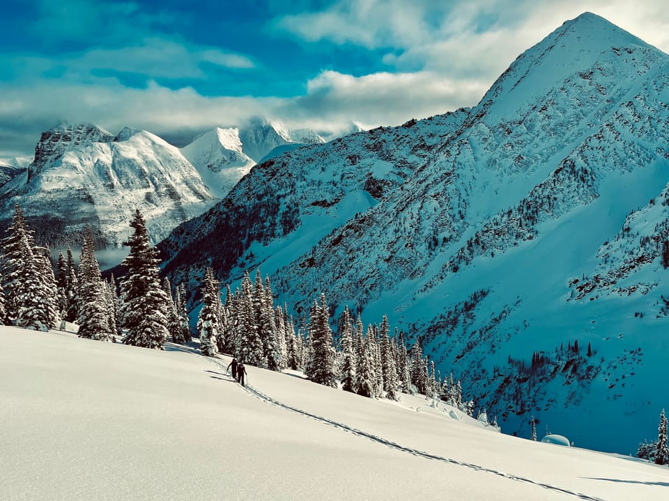
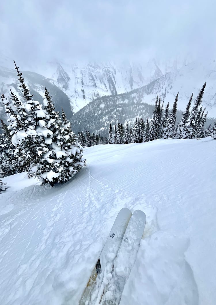
The end of 2024 hasn't been marked by a huge dump, but rather incremental loading, cool temps and broken skies. This has resulted in phenomenal ski quality over the past week. Currently Mt Fidelity's study plot at 1905m is showing 174cm while the Southridge weather station at 1990m in the Nelson Range is showing 146cm. For the most part, the snowpack is strong and progressively resistant across the Powder Highway region and the only persistent weak layer is the December 7th Melt Freeze Crust/ Surface Hoar/ Facet interface, which can be found down 60-120cm area dependent.
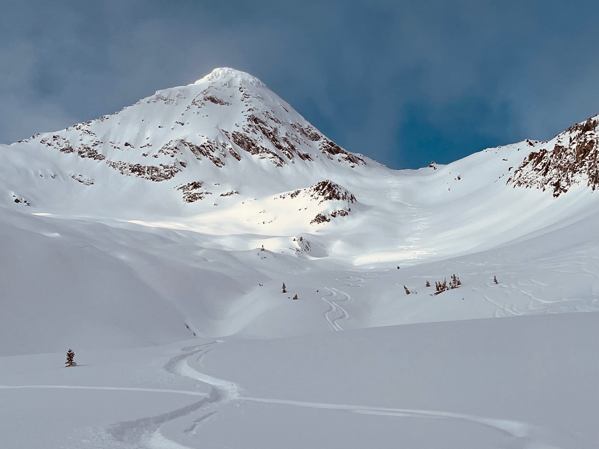
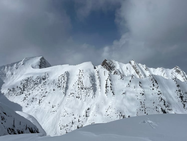
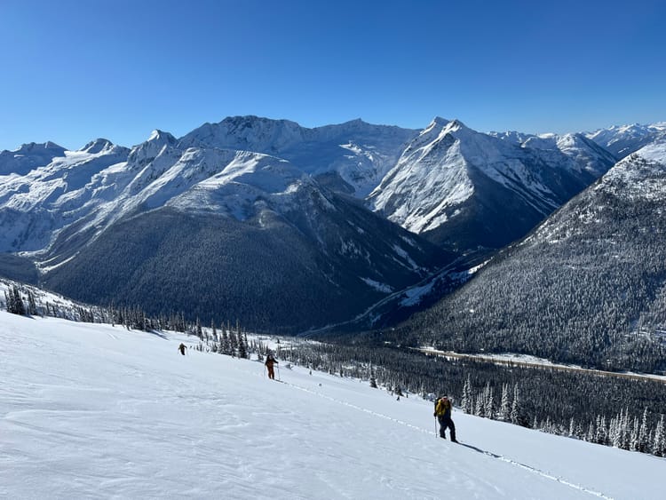
Over the past week, I've skied in four different ranges, Rogers Pass (Central Selkirks), the Monashees, the Nelson Range (Southern Selkirks) and the Valhallas (Selkirks), all of which skied really well. There was a 1-2cm pencil melt freeze crust on steep southeast features at tree line and below in the Monashees and some areas in Rogers Pass. Further south, it seems as though the sun hasn't come out for a couple of weeks. Due south avalanche paths in the Valhallas had 25cm of fist snow over a progressively resistant snowpack two days ago.
Avalanche Problems
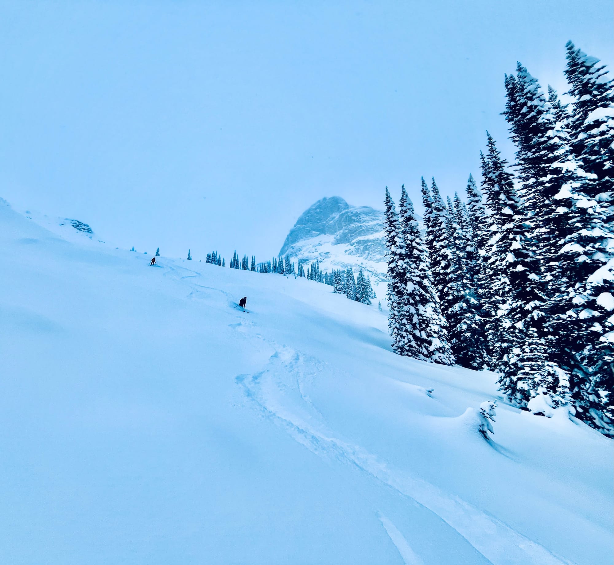
Wind Slabs in immediate lee features. There has been consistent snowfall, not too much, but enough for loose snow to be available for wind transport. There has been wind as well, some of which has come from the NE, so heads up in lee features and watch out of reverse loading.
Dec 7 PWL This layer can be found down 60-120cm across the region. It was down 105cm at 2150m in the Valhallas on an exposed south aspect. There was some rounded surface hoar on a 3cm melt freeze crust. It was unreactive in instabilty tests and to skier traffic. This layer seems to be most problematic in the Goat Range from Retallack to Trout Lake where the surface hoar layer was not affected by a freezing rain event. South of Highway 31A, there was a freezing rain event at the front end of the storm that buried this layer that seems to have affected the surface hoar.
Outlook
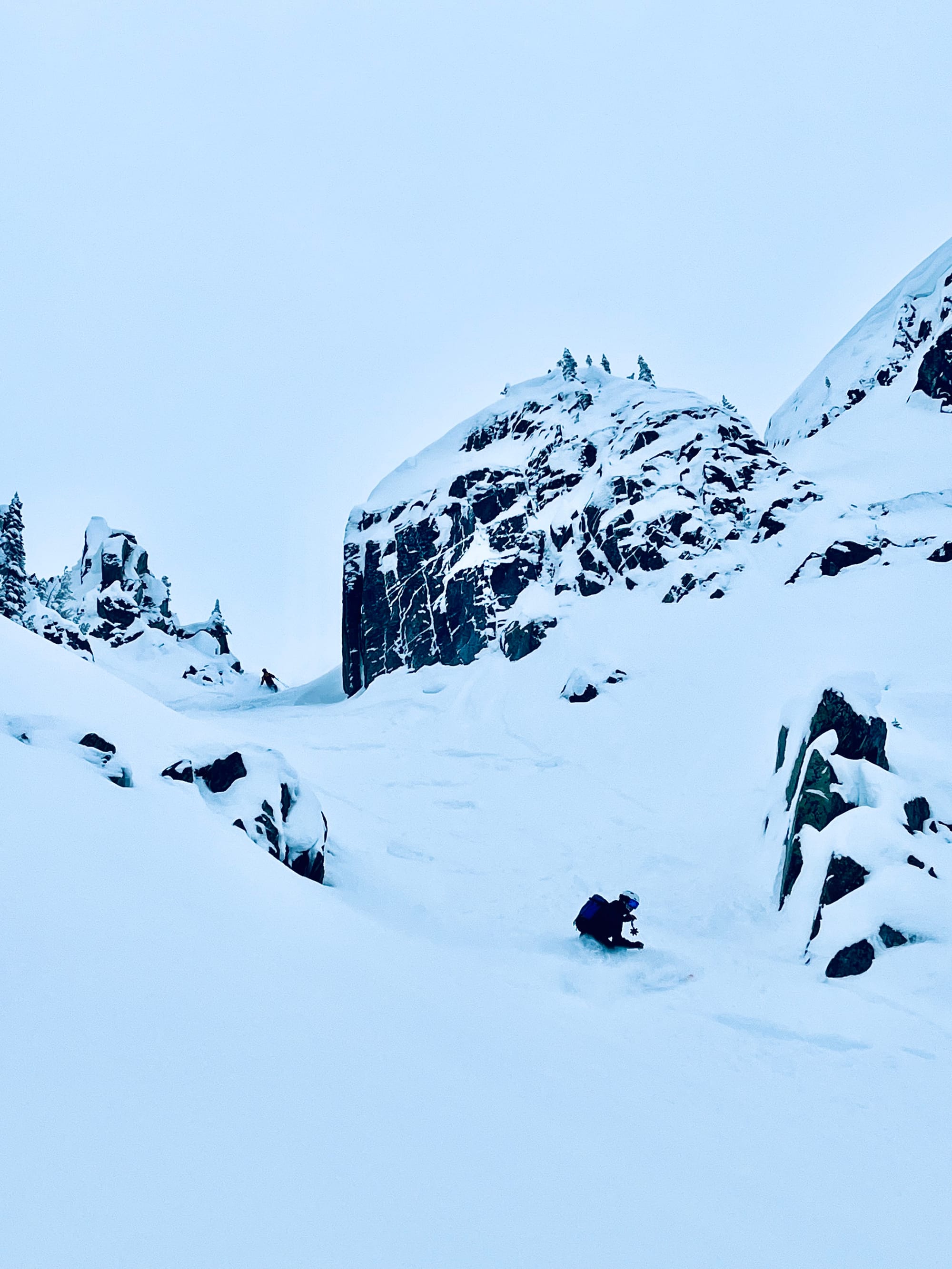
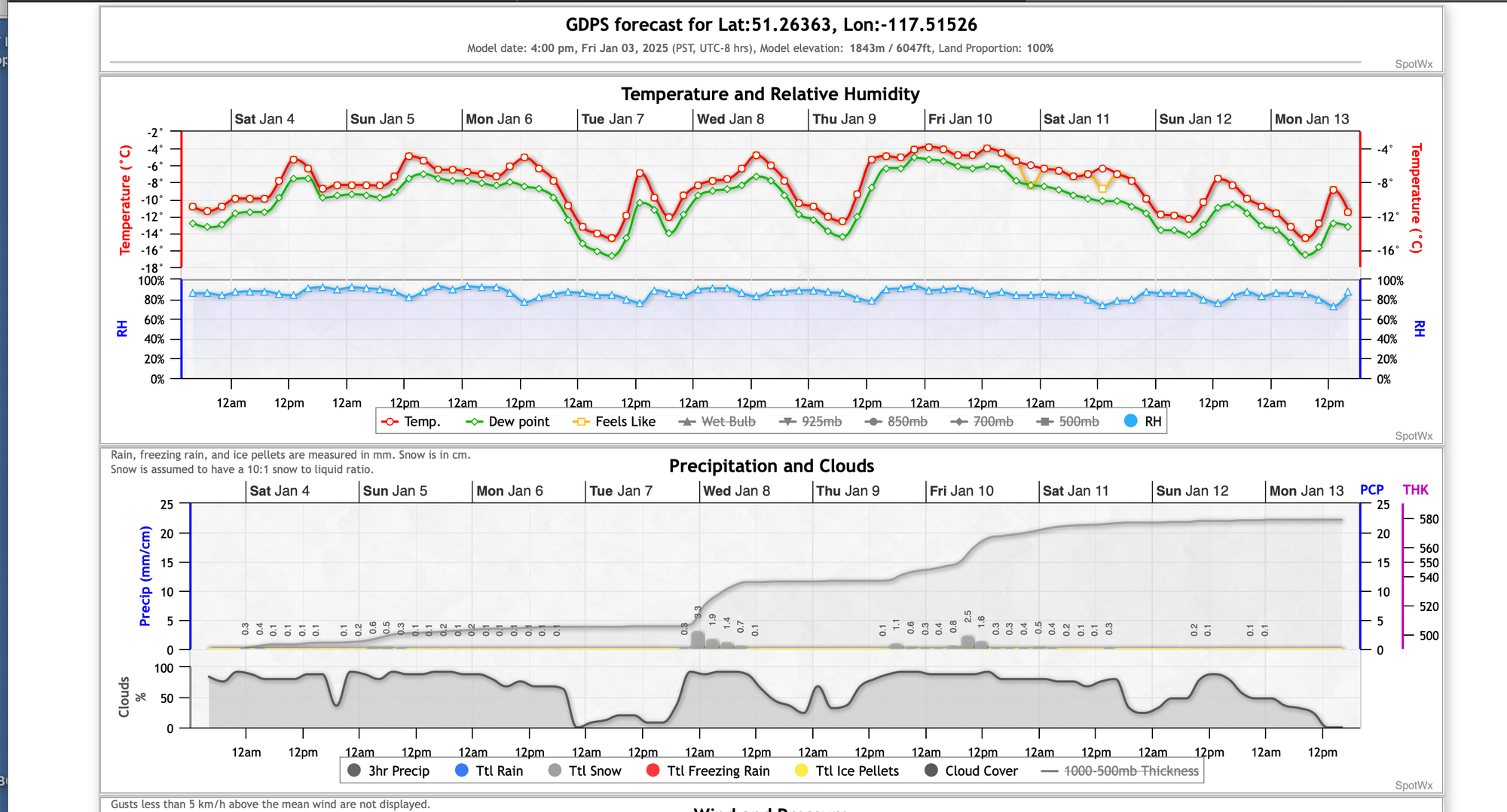
We should see continued light precipitation and cool temps through the next week as weak systems pass through the region. Check out Avalanche Canada's Mountain Weather FX
Upcoming Trips
Two spots left on our April 14-21, 2025 Lyngen Alps Ski and Sail
Spring Basecamps Spaces available inquire for details
2026 Backcountry Lodge Weeks This year's trips have sold out, book now for 2026

Member discussion