
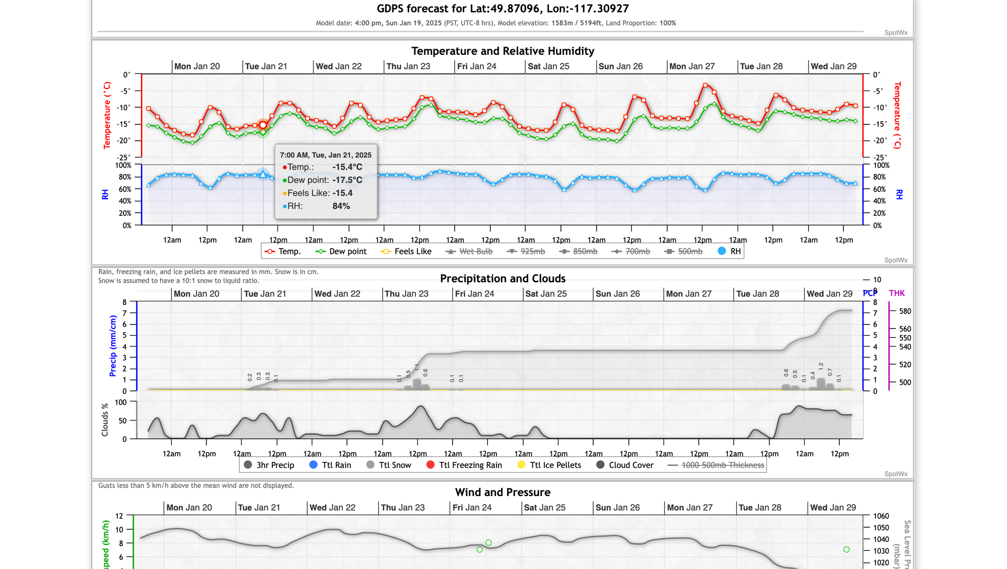
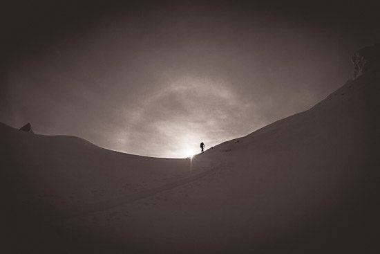
Cold and Dry
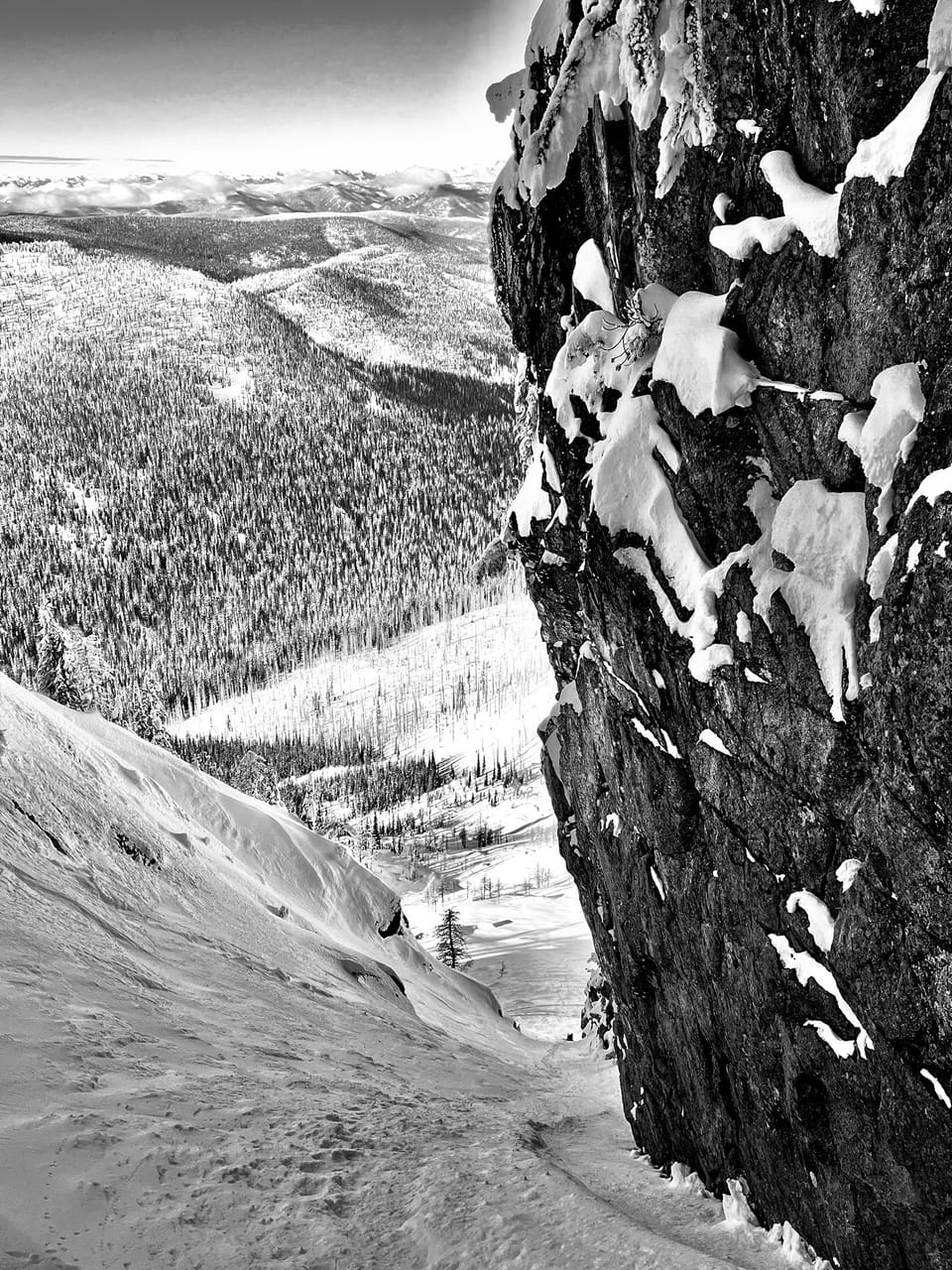
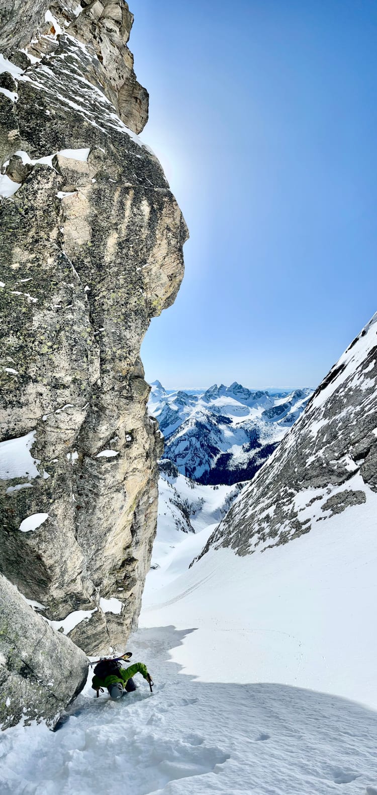
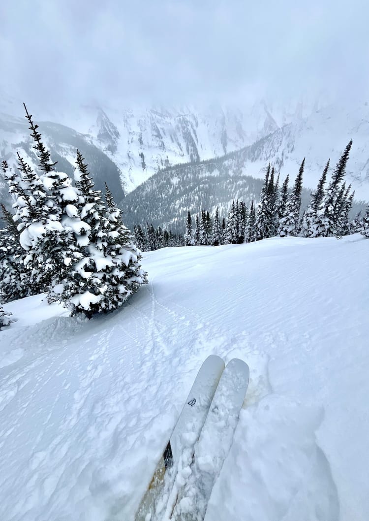
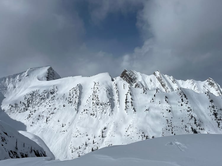
Snowfall values have tapered off since early January as dominant ridges of high pressure have established themselves over Southern BC and off the West Coast. There was a significant wind event last Wednesday with strong to extreme winds out of the Northwest. This created widespread wind effect in the alpine and at tree line. There is plenty of good skiing to be found out there, but it takes a bit of searching for it. Think sheltered lee features and places off the radar. Popular spots have likely been skied a fair bit.
Currently the Mt Fidelity snow study plot sits at 184cm. While Kootenay Pass is showing 152cm at the highway. The Central Selkirks around Rogers Pass received a bit of a refresh last Thursday that improved conditions quite a bit, while the Kootenays haven't seen much precipitation since January 10th.
Snowpack Concerns
Jan 7/10 Currently the upper snowpack is faceted in the Powder Highway region. In the Kootenay alpine, around West Arm Provincial Park, 5-10 cm of pencil wind affected snow (or in sheltered areas 5-10cm of fist facets) overlie the January surface hoar/facet interface. Below this lies another 10-15cm of fist facets which overlie a progressively resistant mid and lower pack.
The January 7th SH/FC layer is deeper in the Central Selkirks and can be found down 30-50cm. Currently it is producing moderate resistant and sudden planar results in instability tests.
Windslabs Stay vigilant when entering lee features, there could be lingering wind slabs.
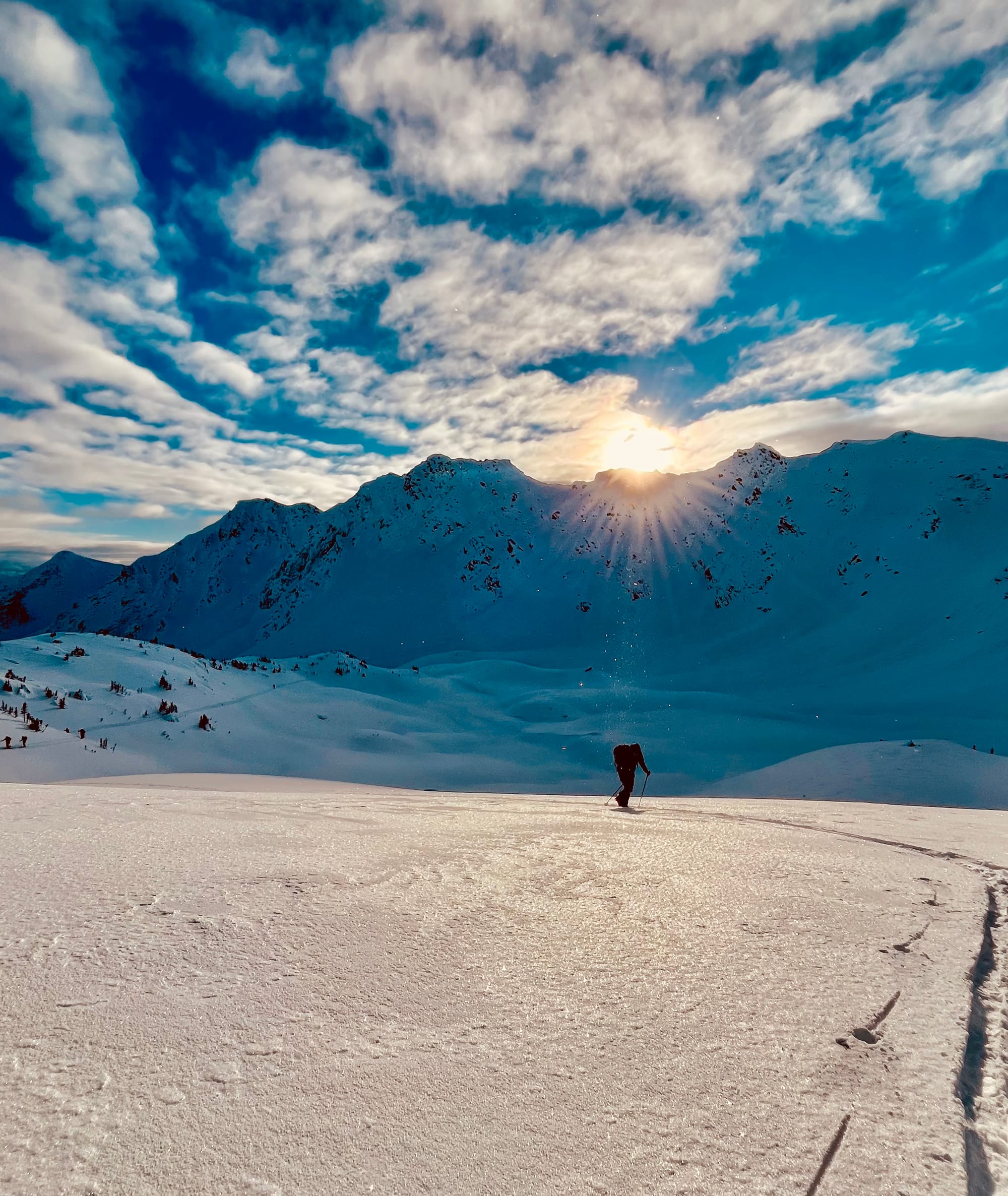
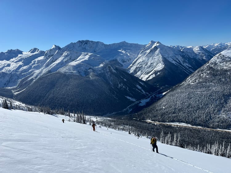
Outlook The current weather pattern will persist for another week as the Omega Block is well established over Southern BC. Look for cold temperatures, clear skies and relatively calm winds.
Upcoming Trips
Prices are in CAD for the Lyngen, Basecamps and Backcountry Lodge trips—current USD/CAD exchange rate is $1US=$1.43CAD
One Spot remaining April 14-21, 2025
Two spots remaining April 3-7, 2025
It's never too early to start thinking of your next adventure.
Weeks available in 2026
Member discussion