
Cold Snap
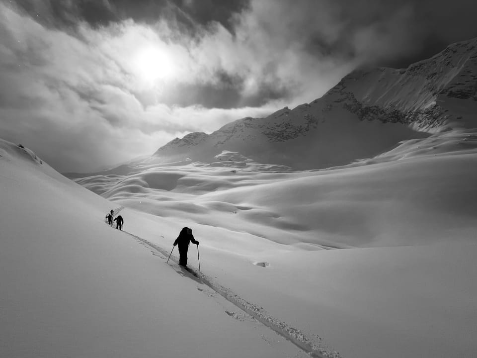
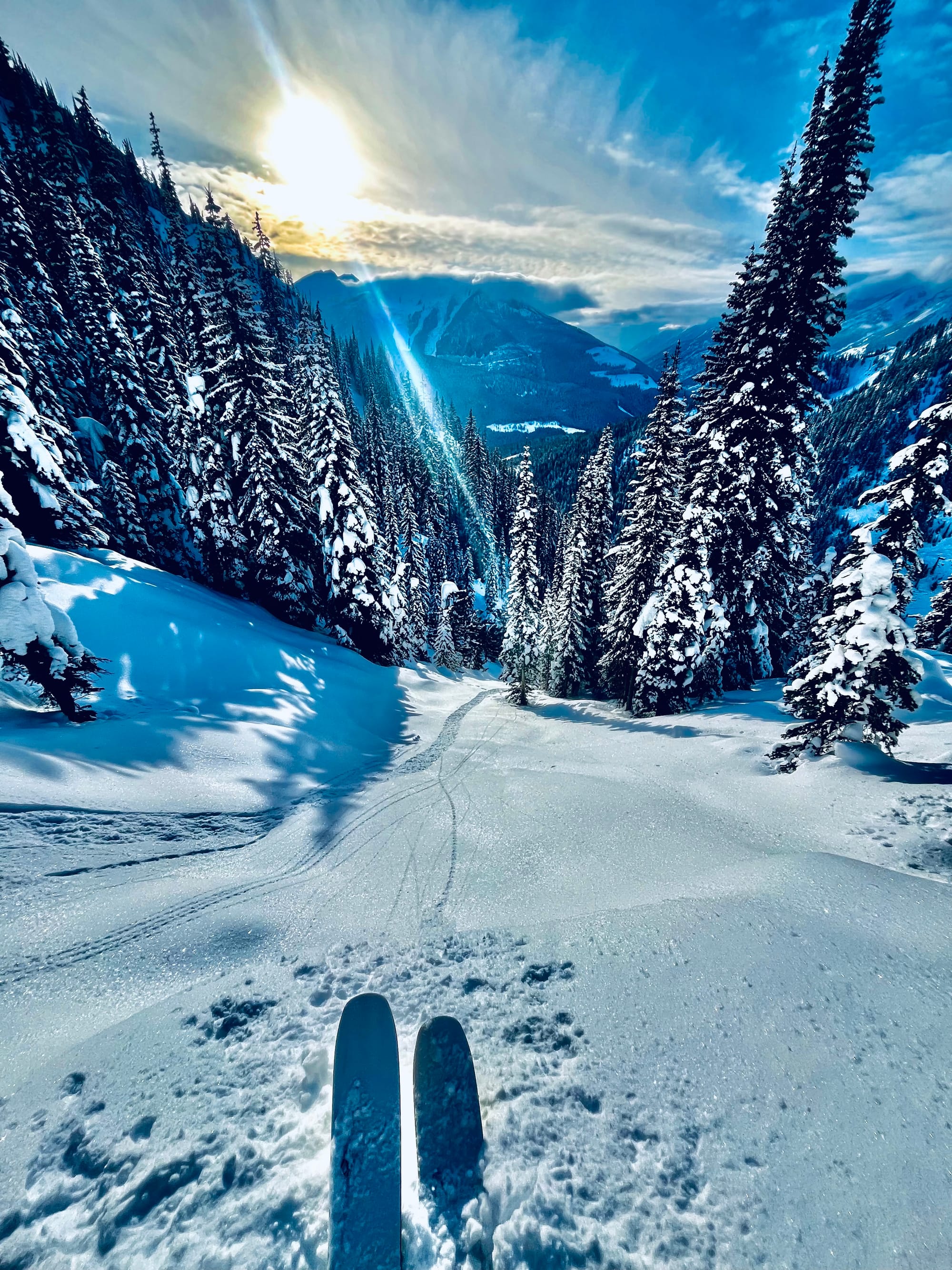
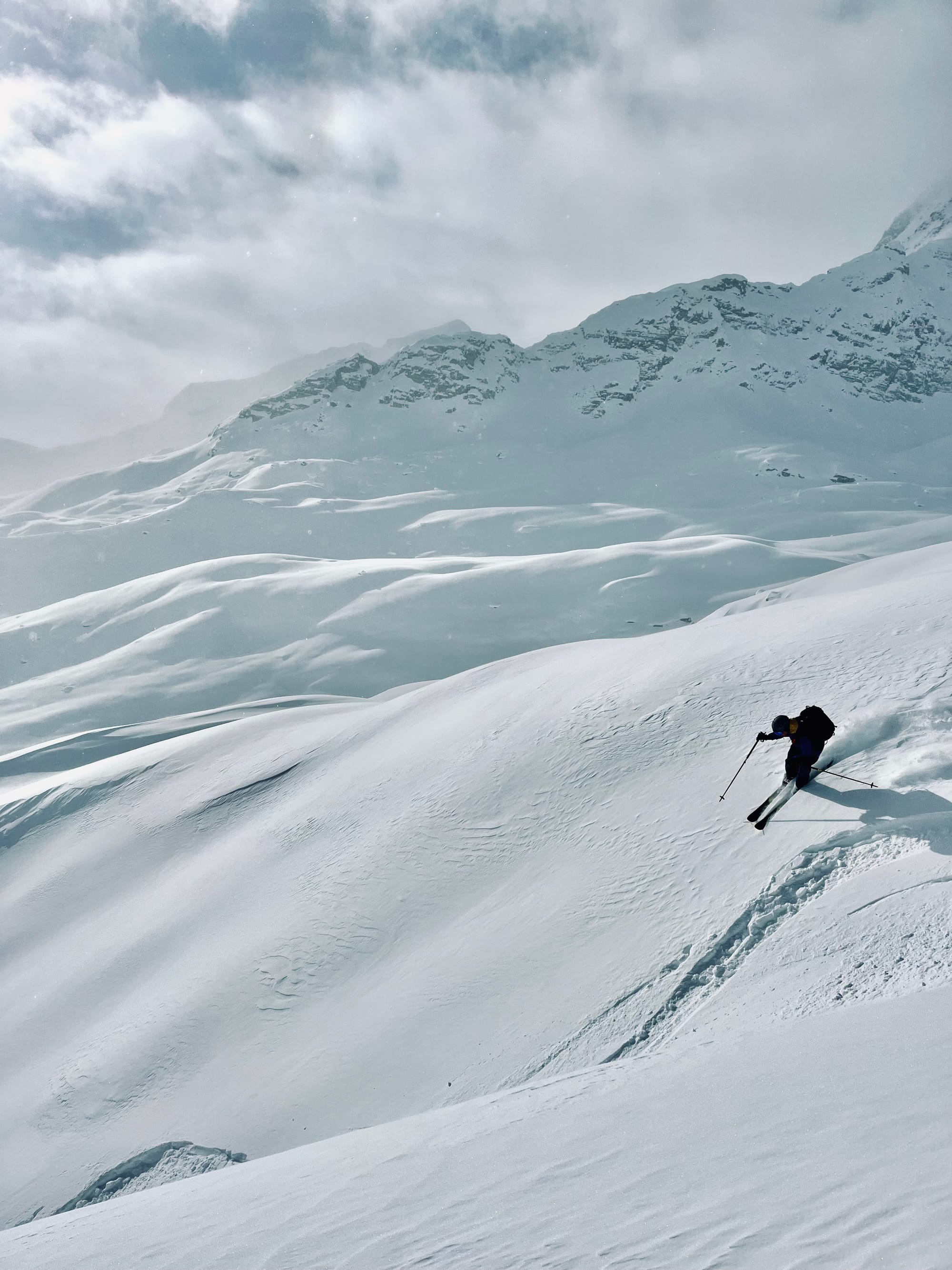
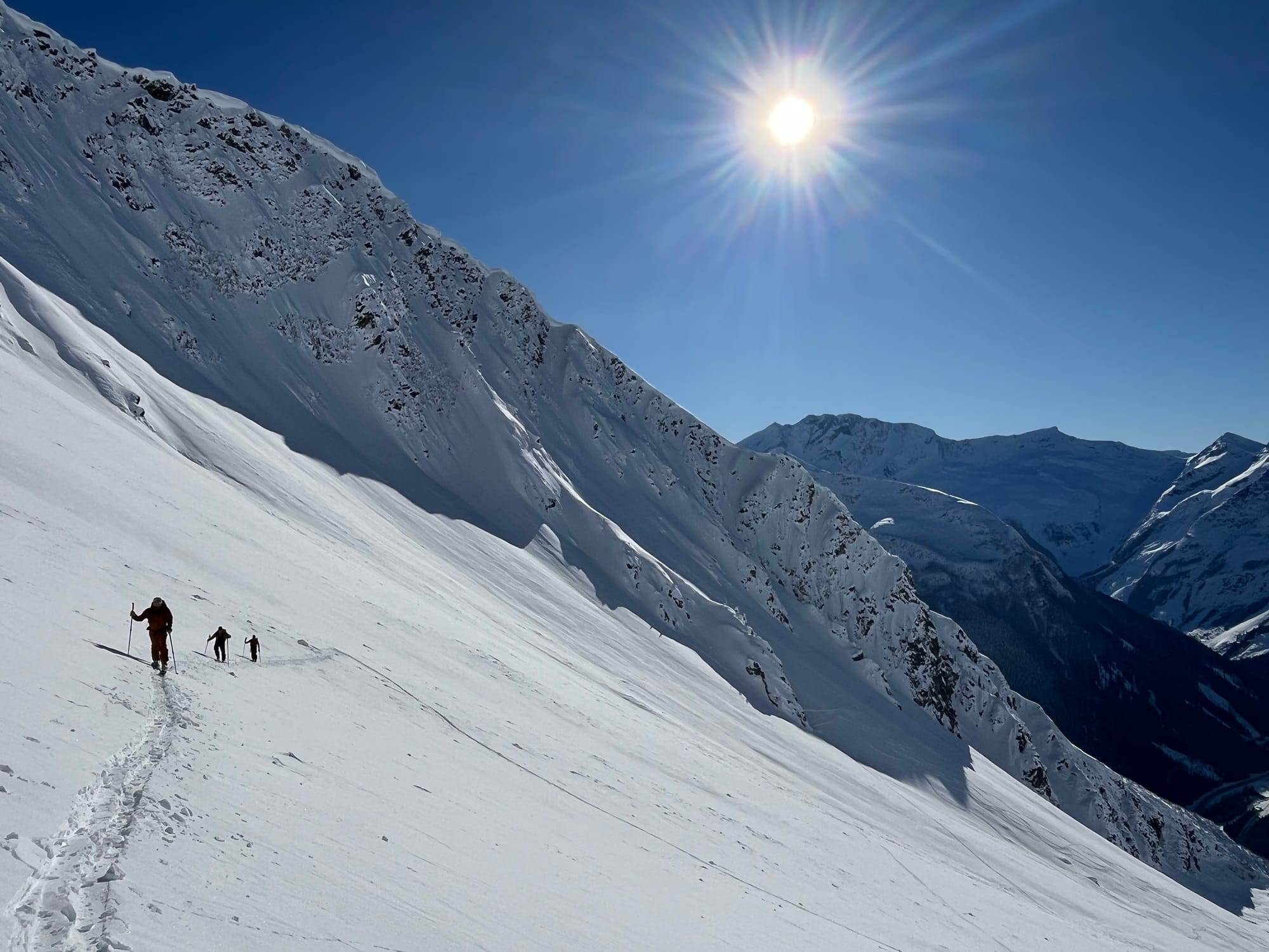
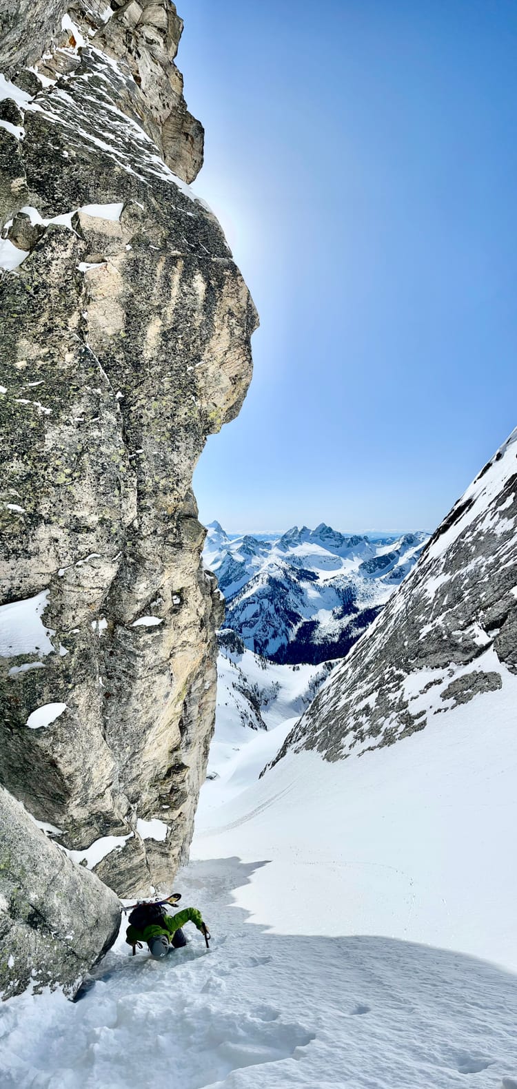
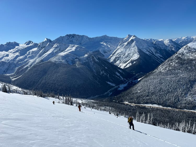
Temperatures have plunged recently, but the skiing is still fantastic. The big dump we had in early February and subsequent small inputs of precipitation have tapered off as this cold front moved in. The 50-60cm of storm snow has settled to 15 -30cm over top of the January 30 crust/ surface hoar/facet interface. Natural and human triggered avalanche activity has tapered off as well. The storm snow has faceted and there is little cohesion/slab properties in it, making for great skiing and decreased avalanche hazard as of late.
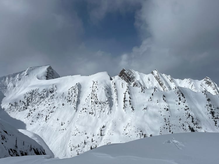
There is variable wind effect in the alpine around Rogers Pass. Features that would be subject to down flow (catabatic) wind effect have been affected. Solar aspects are skiing well, however you can feel the Jan 30 MFcr under the storm snow, which makes for fast skiing! With temps near -20, staying in the sun has been nice.
Currently the Mt Fidelity snow study plot sits at 190cm. While Kootenay Pass is showing 183cm at the highway. Last week there were a number of human triggered avalanches in the Powder Highway region:
Snowpack Concerns
Jan 7/10, 16, 21, 30 Approximately 15-30cm of settled snow overlies the January 30 surface hoar/ facet and melt freeze interface. Below that the earlier surface hoar/facet and crust layers can be found in the upper snowpack.
Windslab
Variable winds have created wind slabs in exposed alpine and tree line features. However those slab properties are starting to facet out with the sustained cold temperatures.
Outlook
Outlook
Cold temps will persist through the week. By next weekend, it looks as though a warm front with precipitation will be on the way. Check out this 10 day model. When it starts snowing again, the January 30th interface will wake up. Currently there are no slab properties in the snow overlying it. Once there is a slab, avalanche hazard will rise. The facets overlying the crust on solar aspects will be particularly spicy. In the meantime, enjoy the fantastic skiing out there!
Member discussion