Consistent Precipitation
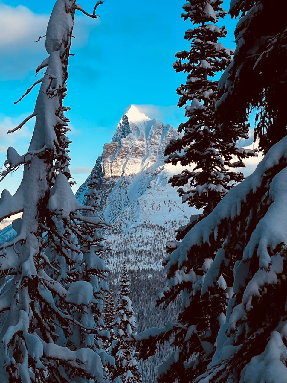
It's been another great week on the Powder Highway! Rogers Pass has 40-60cm of settled storm snow since December 21 and the Kootenays have about the same amount of HST since the 21st. Typical tree line HS (height of snow) ranges from 120cm in the Purcells to 250cm in the Monashees. HS tapers significantly with elevation. At 1340m in Rogers Pass there is 100cm.
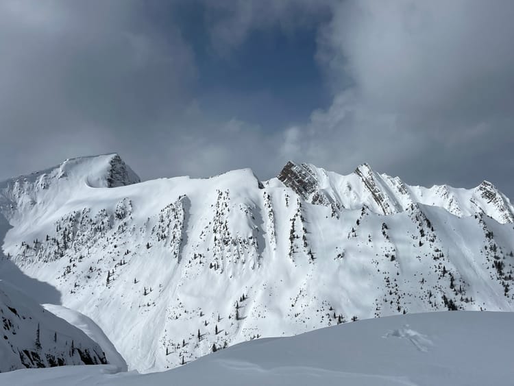
At lower elevations, there are still lots of early season hazards to hit or fall into; however those are starting to fill in nicely. The alpine is skiing well, however there has been a fair bit of wind associated with the past few storms, which has resulted in natural and skier triggered avalanche activity.

Avalanche Problems
Cornices have grown significantly in the past week, be wary of what you are standing on if you are approaching a ridge crest. Using your probe to gauge whether you are on the ridge or about to step onto a cornice is a good means of self preservation. There was a skier triggered cornice failure at RMR recently that resulted in a size three avalanche and a serious injury for the individual.
December 6 PWL is still lurking; particularly in the Kootenays. It seems to be less of a problem around Rogers Pass where the surface hoar was more spotty in distribution. There was a recent skier remote triggered size three in the Goat Range on the Dec 6 PWL.
Wind Slab/ Storm Slabs exist in immediate lee features. There is a lot of low density storm snow available for transport, heads up in lee features. There was a skier accidental size two and partial burial in Rogers Pass. The skier was injured in this avalanche.
Outlook
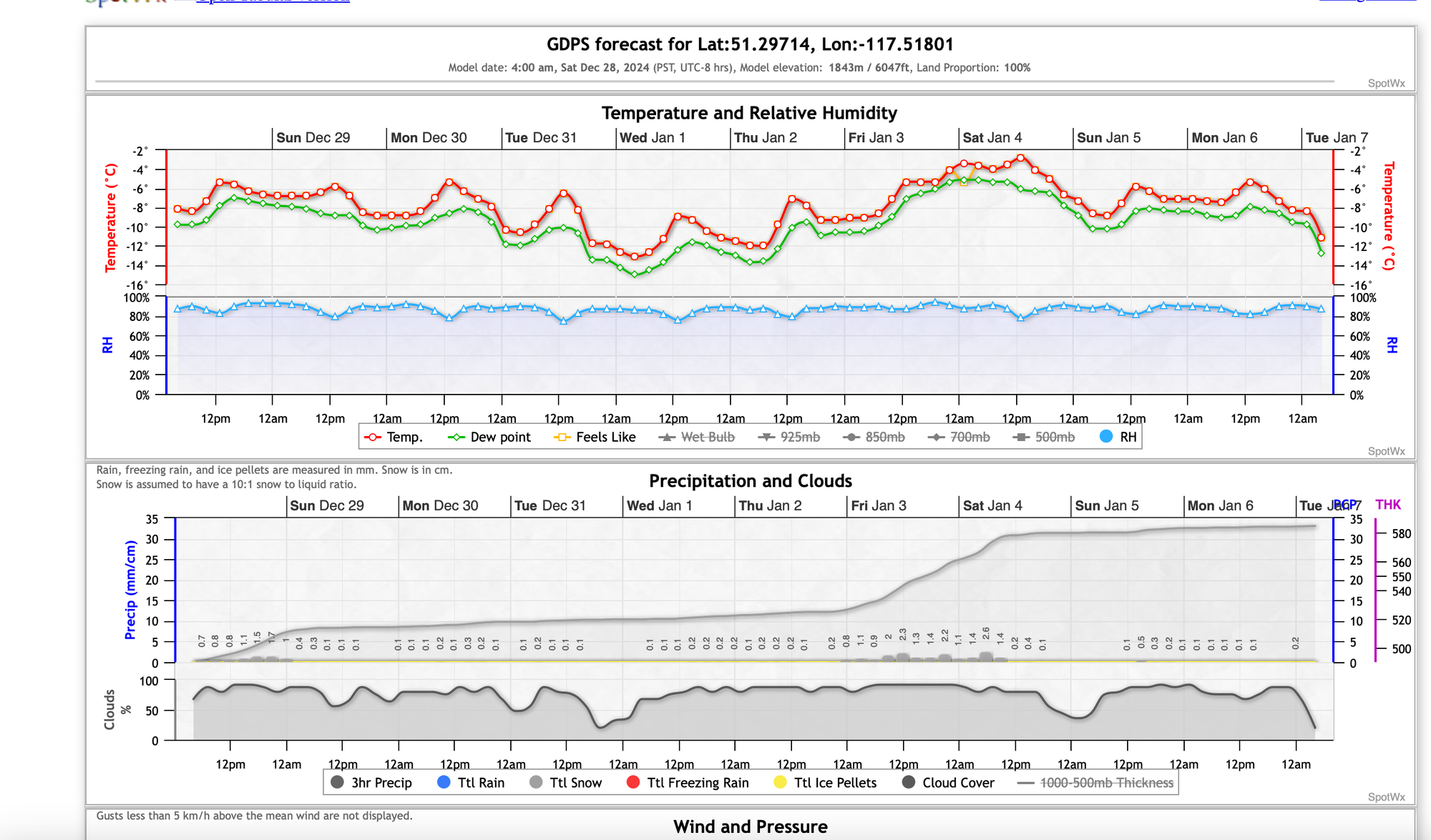
There is a cooling trend with continued precipitation over the next week. It looks like the storms will track a bit south, so the Kootenays may see higher precipitation values than Rogers Pass. All in all it looks like a great way to cap off 2024 and ring in the New Year!

Member discussion