Fantastic Early Season Conditions
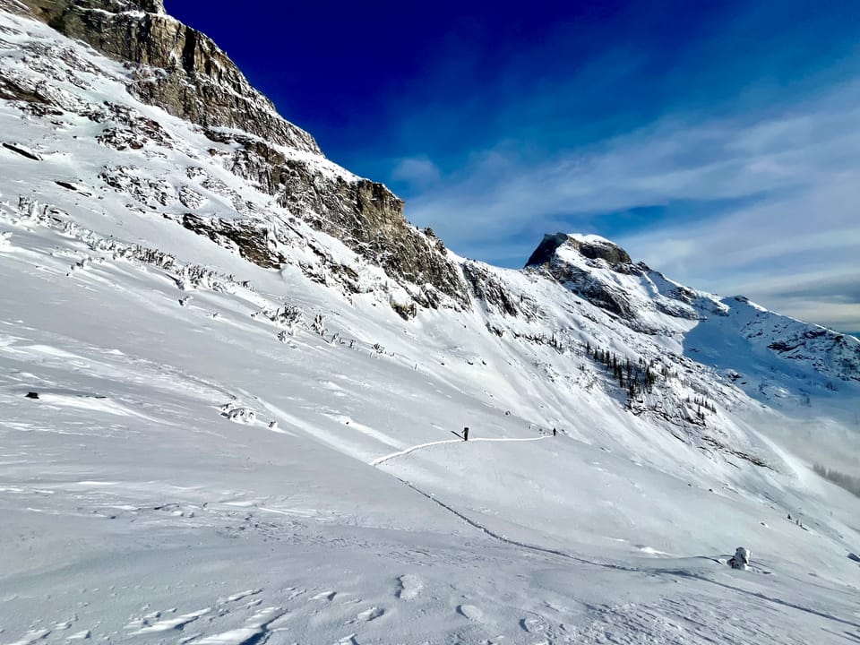
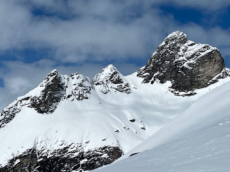
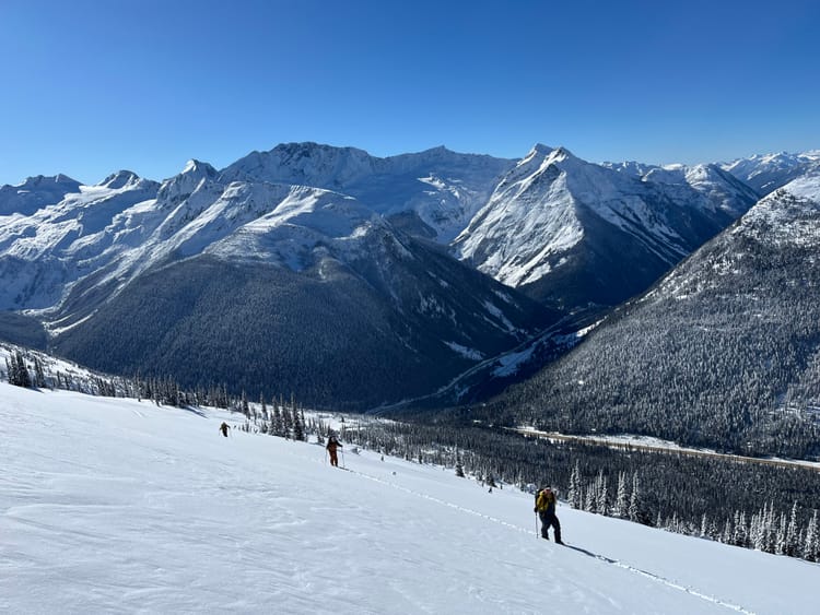
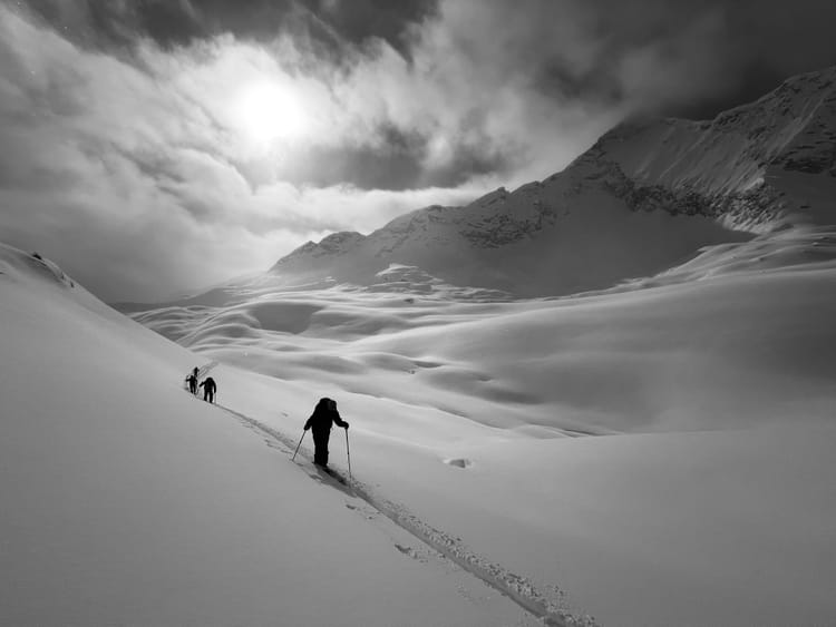
Ski conditions have been fantastic lately—the snowpack has continued to settle and the temperatures have remained cool over the past week. Rogers Pass has received incremental loading and the Kootenays have received less snow under broken to overcast skies which preserved the surface conditions and settled the snowpack. There have been reports of surface hoar development in the past couple of days and near surface faceting, so take a minute to dig after the arrival of the new snow this week.
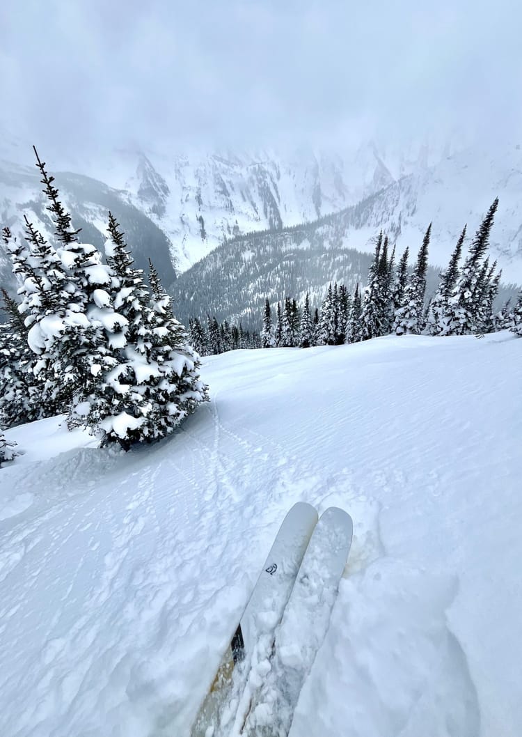
The height of snow is ranging from 1.2- nearly 2m in from 1700 and above. Below 1700m the HS tapers quickly with elevation. Rogers Pass is still showing only 32cm at the RPDC. Kootenay Pass has 102cm at 1780m. The big change over the past week has been the settlement of the snowpack, the 50-60cm ski penetration of the mid-November have been replaced by 10-20cm ski penetrations more recently. This means we’re no longer plunging deep into the snowpack with every turn.
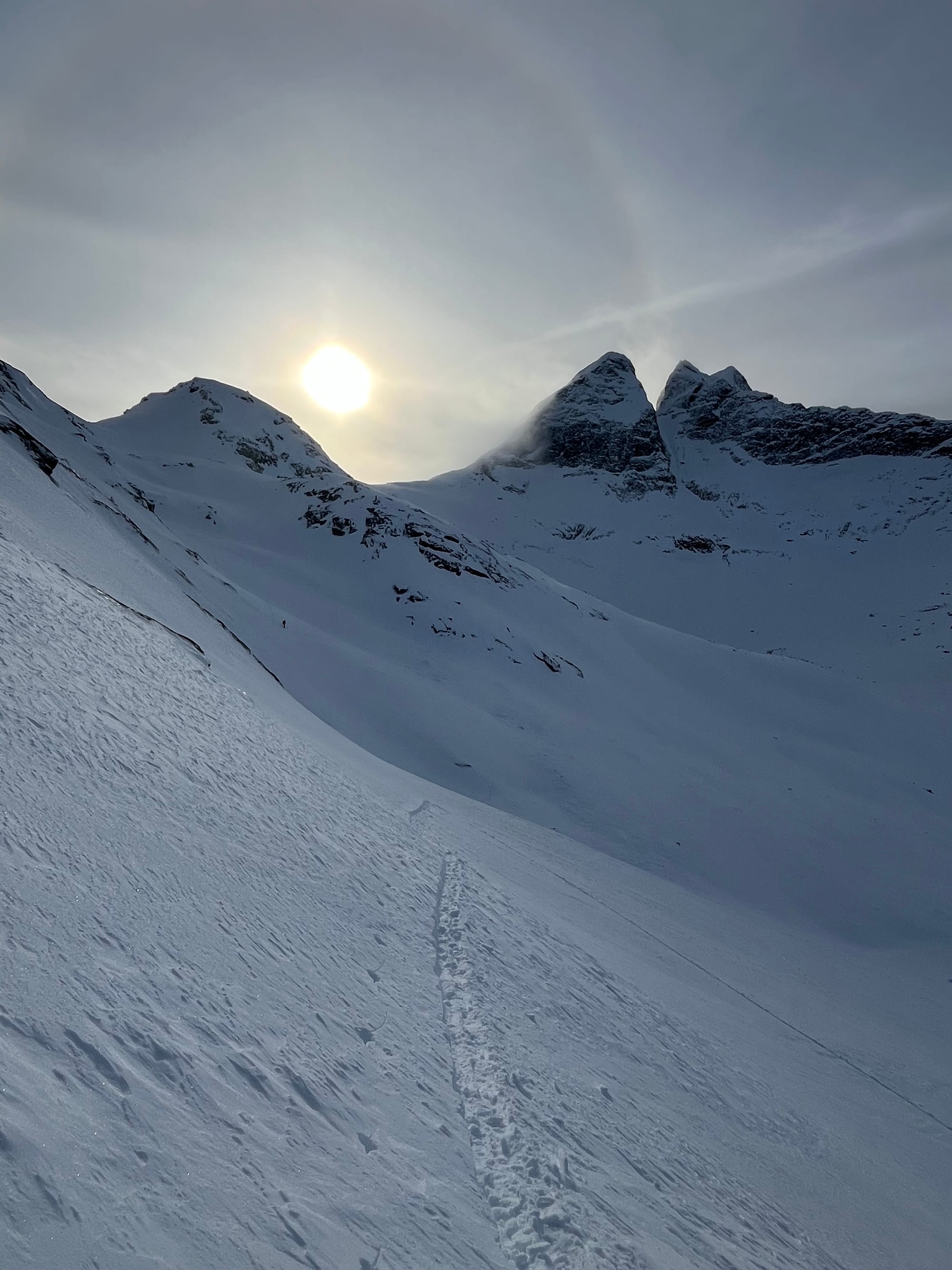
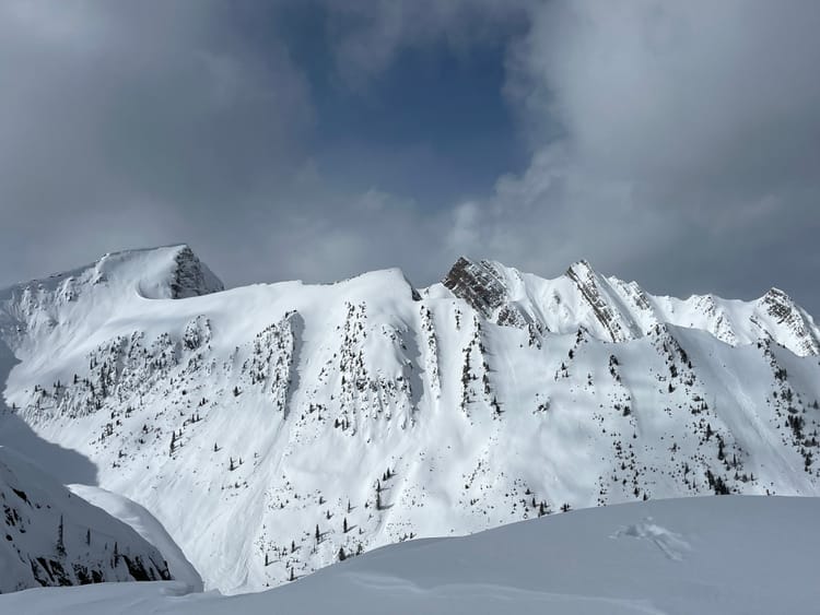
While it seems like it‘s game on for ski season, early season conditions persist. logs, creeks and rocks are still thinly veiled and there is variable distribution in the alpine—particularly in windy areas. In the alpine in the Valhallas there is wide spread wind effect, which has scoured surfaces and loaded others.
Snowpack
Currently there is not much going on, there’s the Nov 7 MFcr down about 70cm and the Nov 16 SH down about 50-60cm with variable size and distribution. The Nov 16 SH is producing hard sudden planar test results. There are also wind slabs in immediate lee features. On steep south aspects below 2200m a 1cm 1F MFcr was observed yesterday, however it didn’t exist on SE or SW aspects.
Outlook
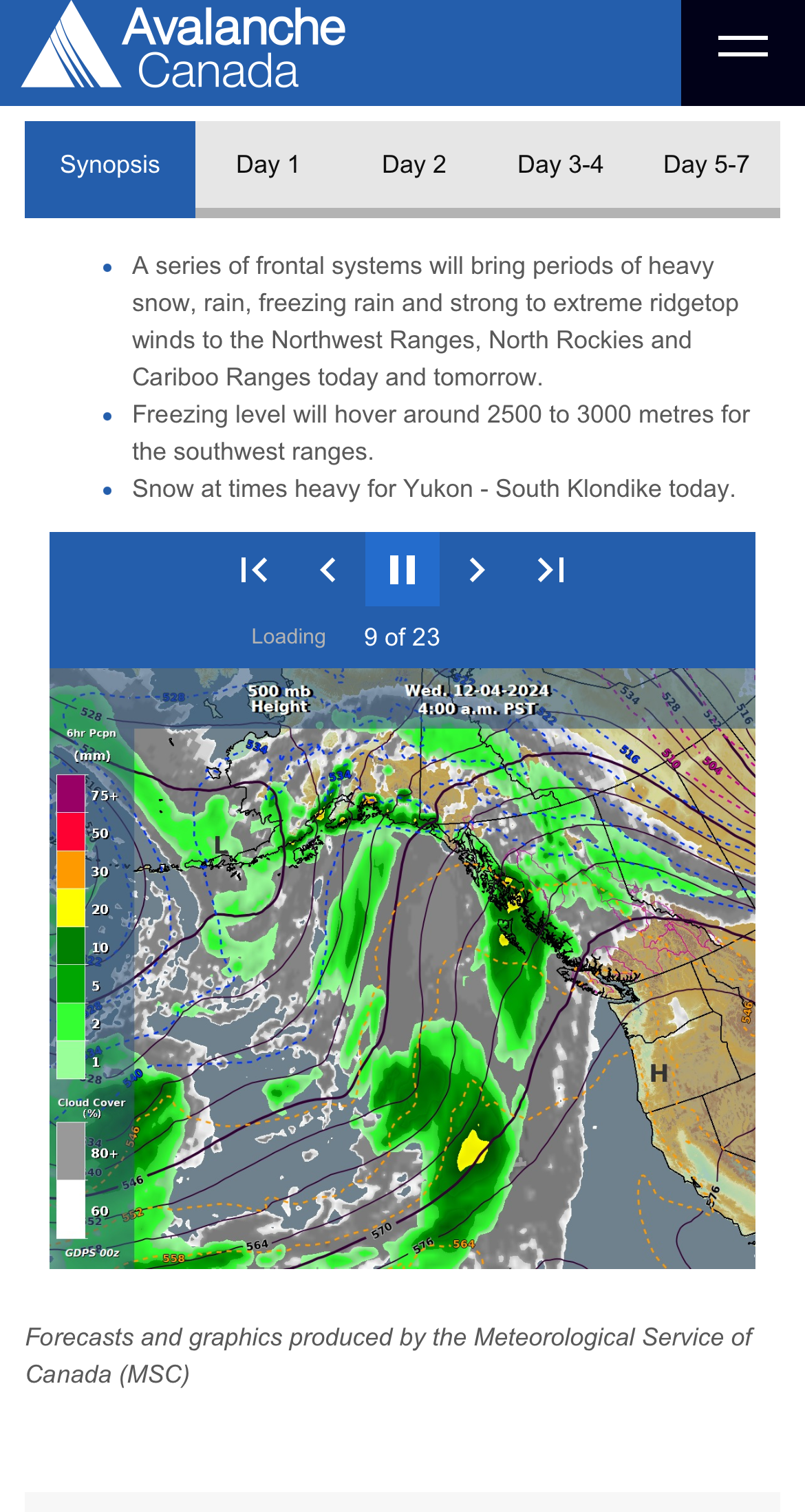
The blocking ridge of high pressure will persist for a couple more days until a low will push through beginning Wednesday. There is the possibility for Above Freezing Levels in the alpine today and tomorrow in the South Columbias, so pay attention to the temperatures if you're out in the alpine. Check out Avalanche Canada’s Mountain Weather Forecast.

Member discussion