
Feels Like the Powder Highway
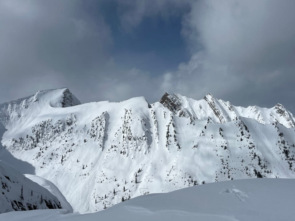
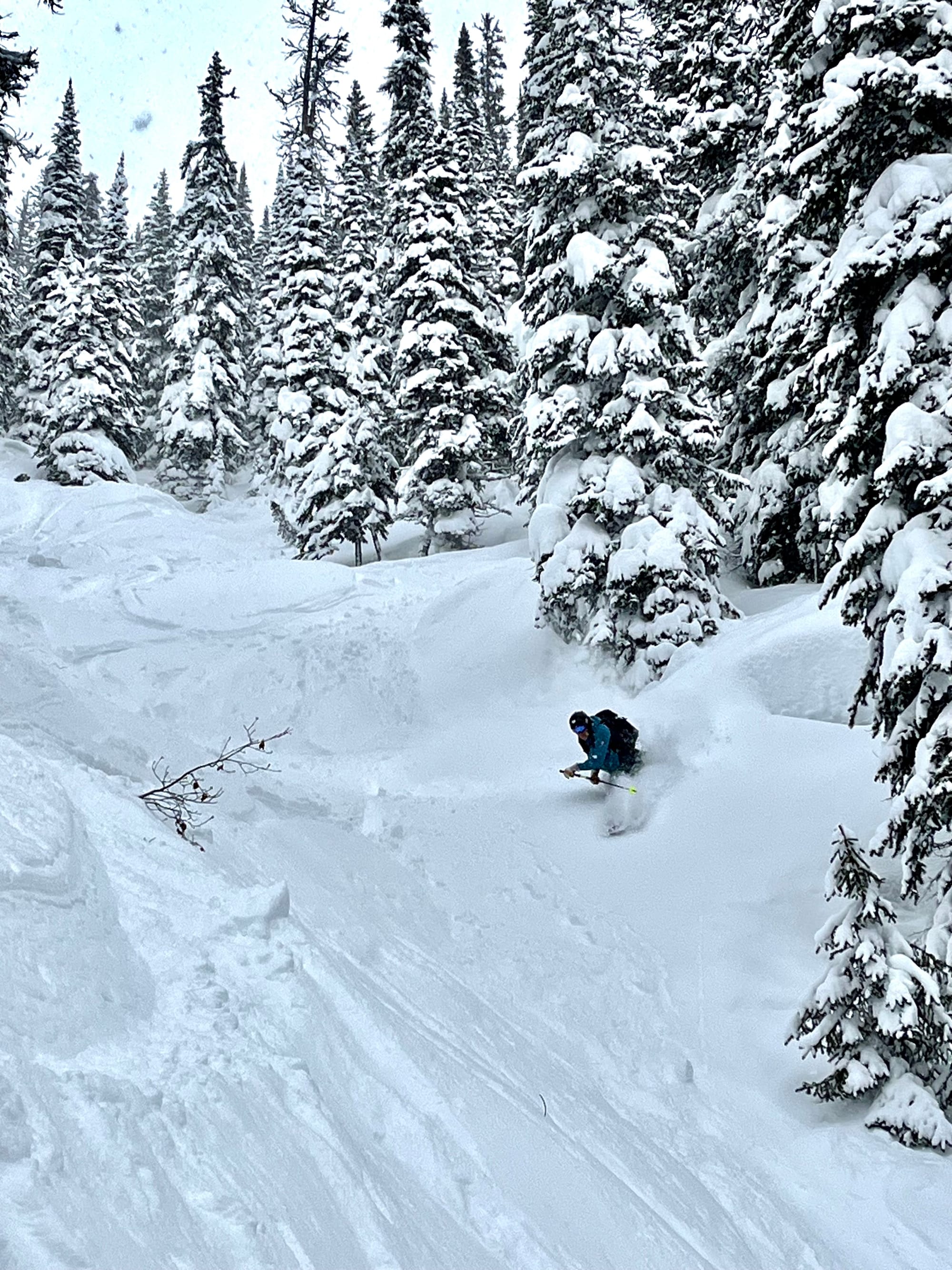
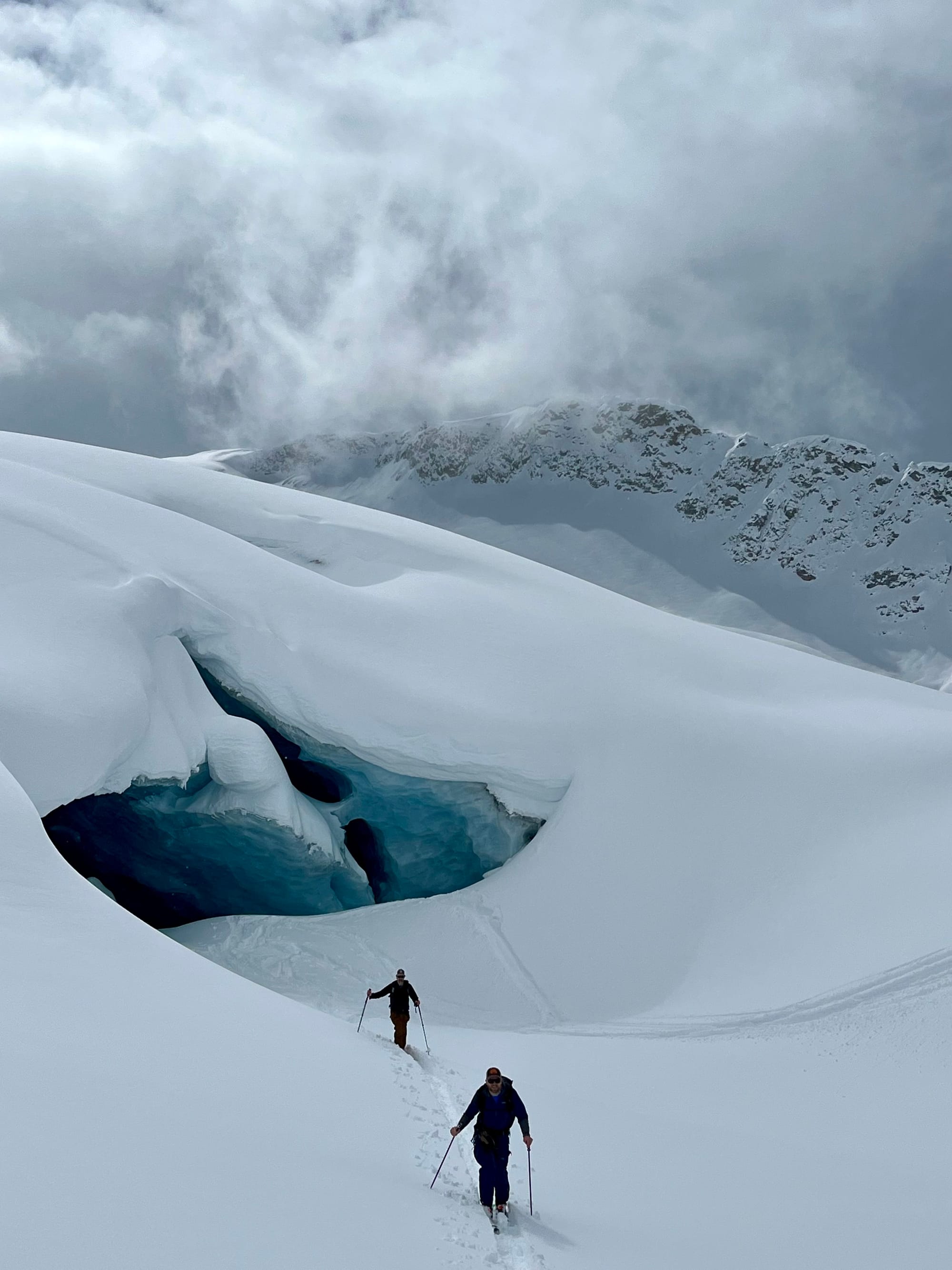
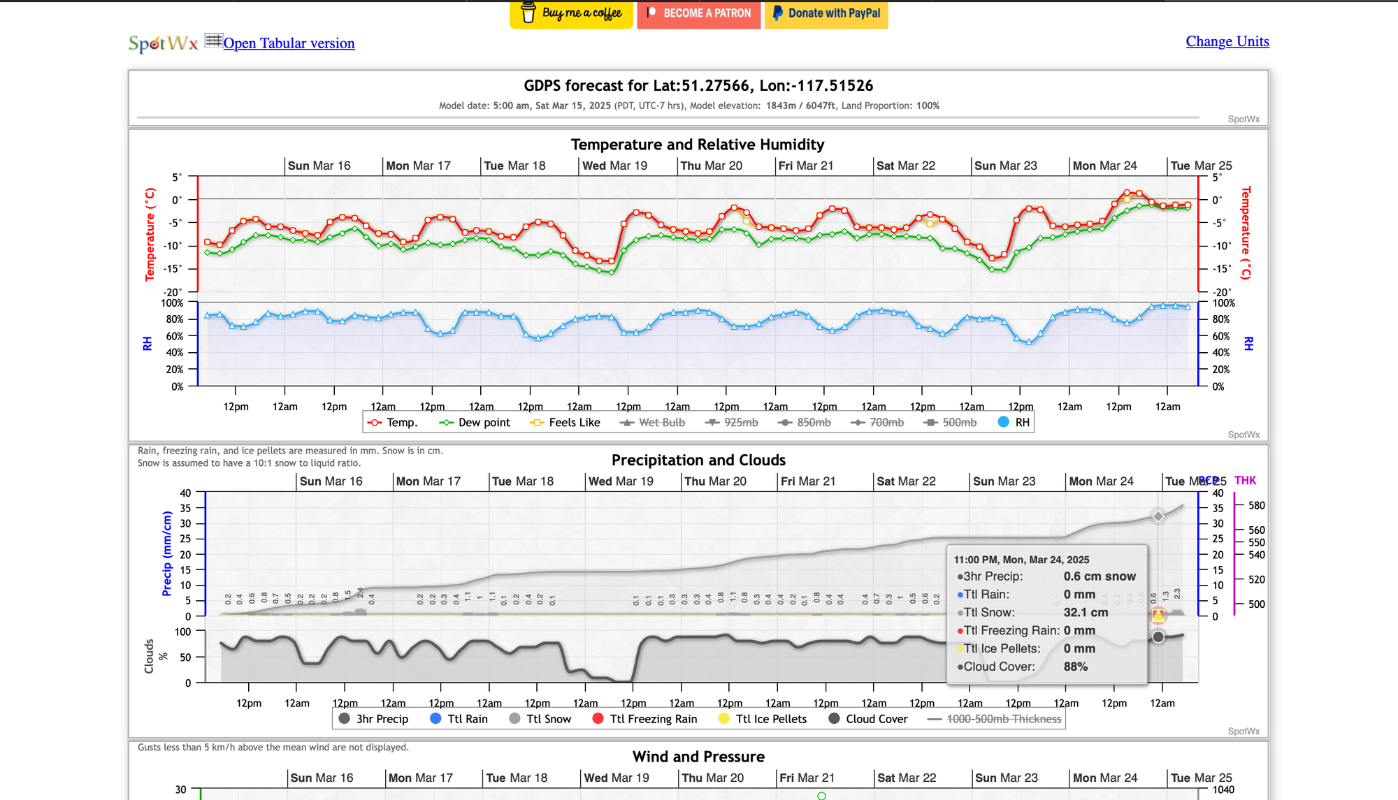
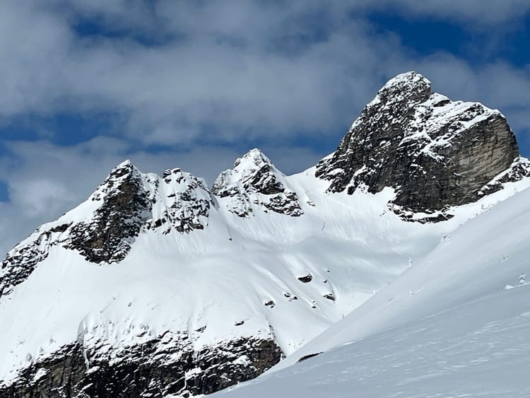
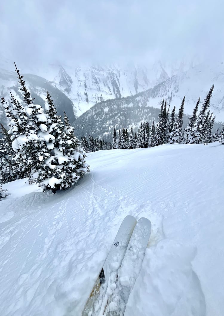
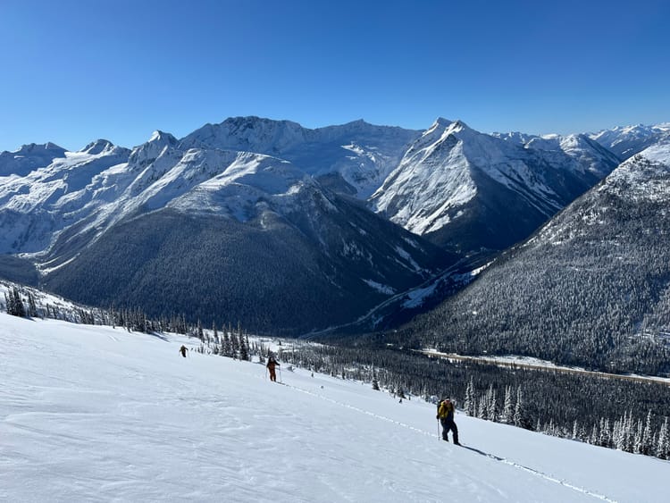
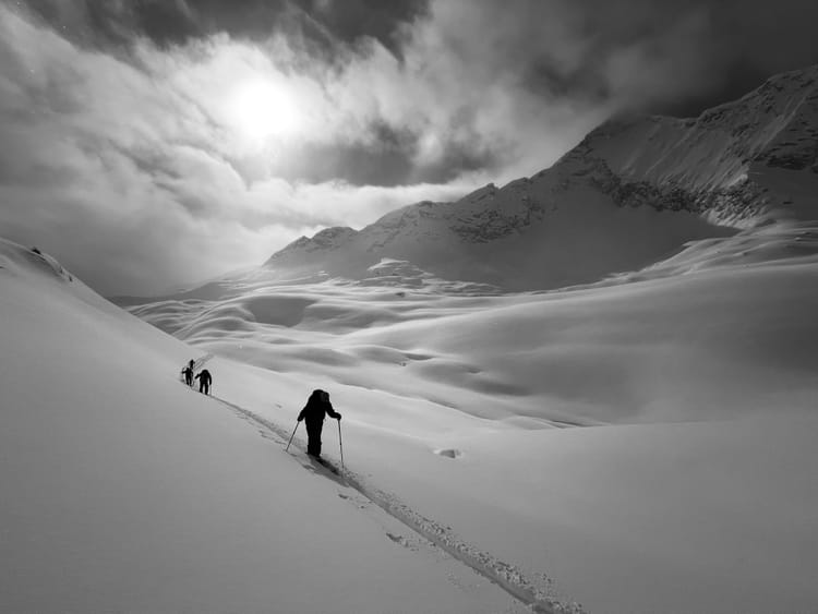
We've had quite the mid-March so far. After an extremely cold and dry February followed by a severe warm up, the taps have turned on and we've received approximately a meter of storm snow in the past week (region dependant) on the Powder Highway. This massive shift in the weather has brought about a wide spread natural avalanche cycle to size four in the Columbia and Rocky Mountains, with the peak of natural avalanche activity occurring around last Sunday/Monday. While it has been a time to tip toe around the mountains and avoid exposure to large overhead feature, this storm cycle has provided excellent skiing and will set us up for a great spring.
Snowpack Concerns
Jan 30/ Feb 16 SH/FC/ MFcr are down 150-120 in the Central Selkirks and were the primary failure plane for many of the large avalanches in the past week. While they are generally outside of the human triggering range, large loads such as cornice failures, rapid loading and wind transport could still trigger these layers and produce large, unsurvivable events. Hedge your bets and stay clear of large avalanche paths in periods of warming or rapid loading.
March 5 SH/FC/MFcr Can be found down 50-100cm in Glacier National Park and deeper in the Monashees and shallower further south in the Kootenays. This interface seems to be healing with the warm temperature and significant load that has been applied to it over the past week.
Wind Slabs Recent snowfall has come with a lot of wind in the moderate to strong end of the spectrum. Localized winds have been all over the map, but generally there are wind slabs in immediate lee features and other wind affected areas.
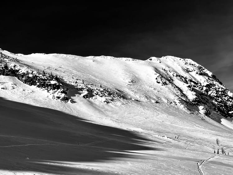
Cornice With all the wind, snow and moderate temperatures, cornices have grown significantly and have been producing decent sized avalanches, by triggering storm slabs and persistent slabs upon impact.
Outlook
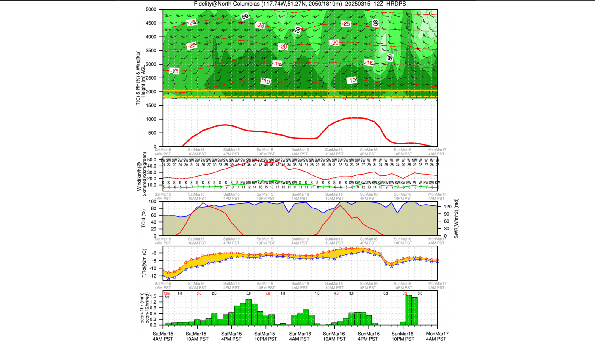
It looks like another week of steady precipitation with occasional breaks in the weather. Valley bottoms will remain spring like, but the mountains will be receiving winter-like conditions with lots of snow. Freezing levels look as though they will be a bit elevated and remain around 1300-1500m.
Member discussion