
Omega Blocked
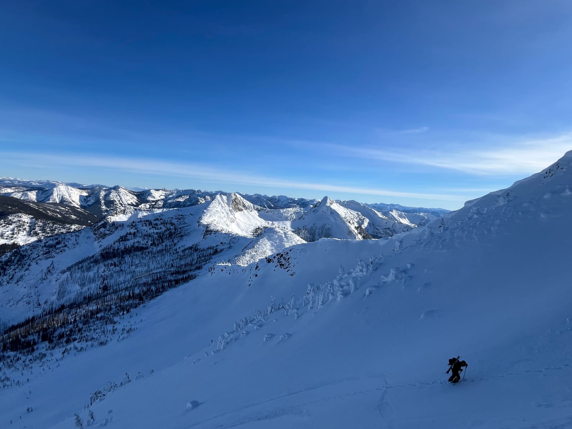
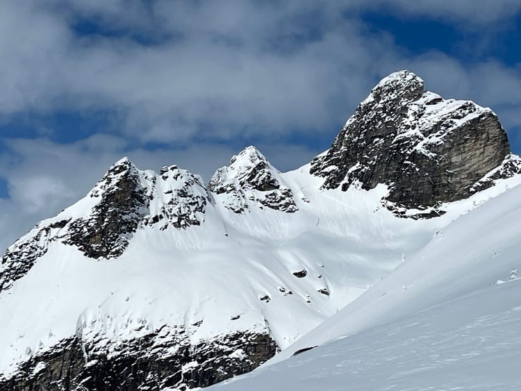
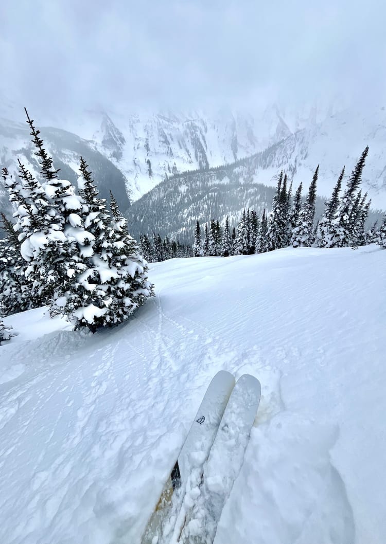
The dominant ridge of high pressure off the west coast has been a persistent one and will continue for the remainder of the week. It settled in in early January around the tenth and has remained in place since the. The Central Selkirks around Rogers Pass have faired a bit better than the Southern Selkirks with a few small refreshes over the past few weeks, while the Kootenays have received minimal snowfall since Jan 10. That is not so say the conditions are terrible, rather the ski quality has been excellent in the right places. Lot's of hallmark lines have been skied lately in prime condition. Sheltered features in the alpine and at tree line and below are skiing really well too. It's been a great time to explore and check out places a bit further afield or go ice climbing.
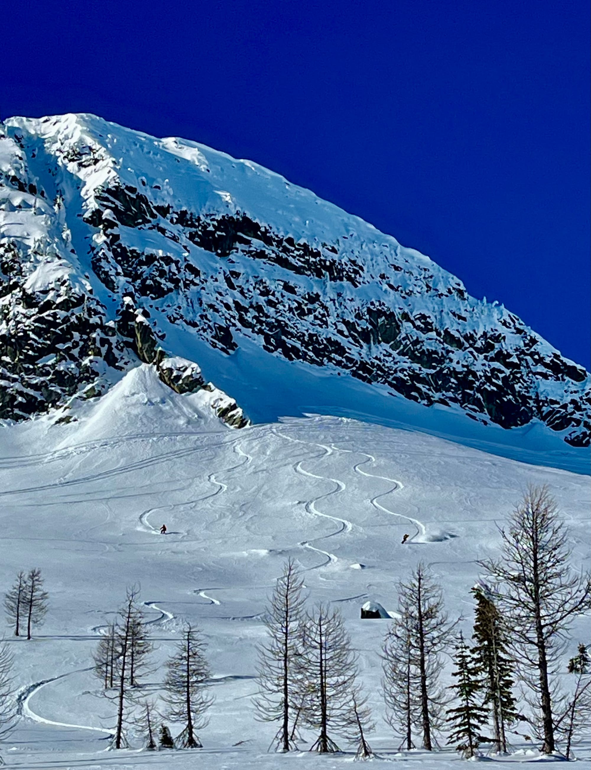
Currently the Mt Fidelity snow study plot sits at 180cm. While Kootenay Pass is showing 150cm at the highway. The Central Selkirks around Rogers Pass received a bit of a refresh last week that improved conditions quite a bit, while the Kootenays receieved 5cm. SE-SW aspects have a melt freeze crust which will become more robust with the incoming alpine temperature inversion.
Snowpack Concerns
Jan 7/10, 16, 21 Currently the upper snowpack is faceted in the Powder Highway region. There are several surface hoar/ melt freeze crust interfaces in the top 30 cm. When it starts snowing again, those 30cm of fist facets which overlie higher resistance snow will cumulatively create a problem rather than one particular layer, though most action will probably occur near the Jan 7 interface.
In the Kootenay alpine, around West Arm Provincial Park, 5-10 cm of pencil wind affected snow (or in sheltered areas 10-30 cm of fist facets) overlie the January surface hoar/facet interface. Below this lies another 10-15cm of fist facets which overlie a progressively resistant mid and lower pack.
The January 7th SH/FC layer is deeper in the Central Selkirks and can be found down 30-60cm.
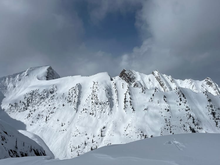
Windslabs Stay vigilant when entering lee features, there could be lingering wind slabs.
Loose Wet/ Cornices There will be an alpine inversion this week. Watch out for day time warming and solar input on solar aspects and cornices.
The gigunda ridge of high pressure is not leaving any time soon, hopefully by this weekend. The warm air aloft is a sign of change, so fingers crossed precipitation is on the way. When it does come, expect to change your travel habits, we've had several weeks of extremely low avalanche hazard, the surface condition created by this dry spell will yield a lingering instability.
Member discussion