Powder Highway Backcountry Conditions Report November 22, 2025

Another great week of early season conditions has passed here on the Powder Highway. In the Kootenays, snow depths are about one meter at 1400m and up to 160cm around 1800m. In Rogers Pass, there is roughly 30cm at the RPDC and Mt Fidelity's weather plot at 1900m is showing 118cm, in the alpine HS (Height of Snow) ranges from 150cm-200cm, feature dependent.
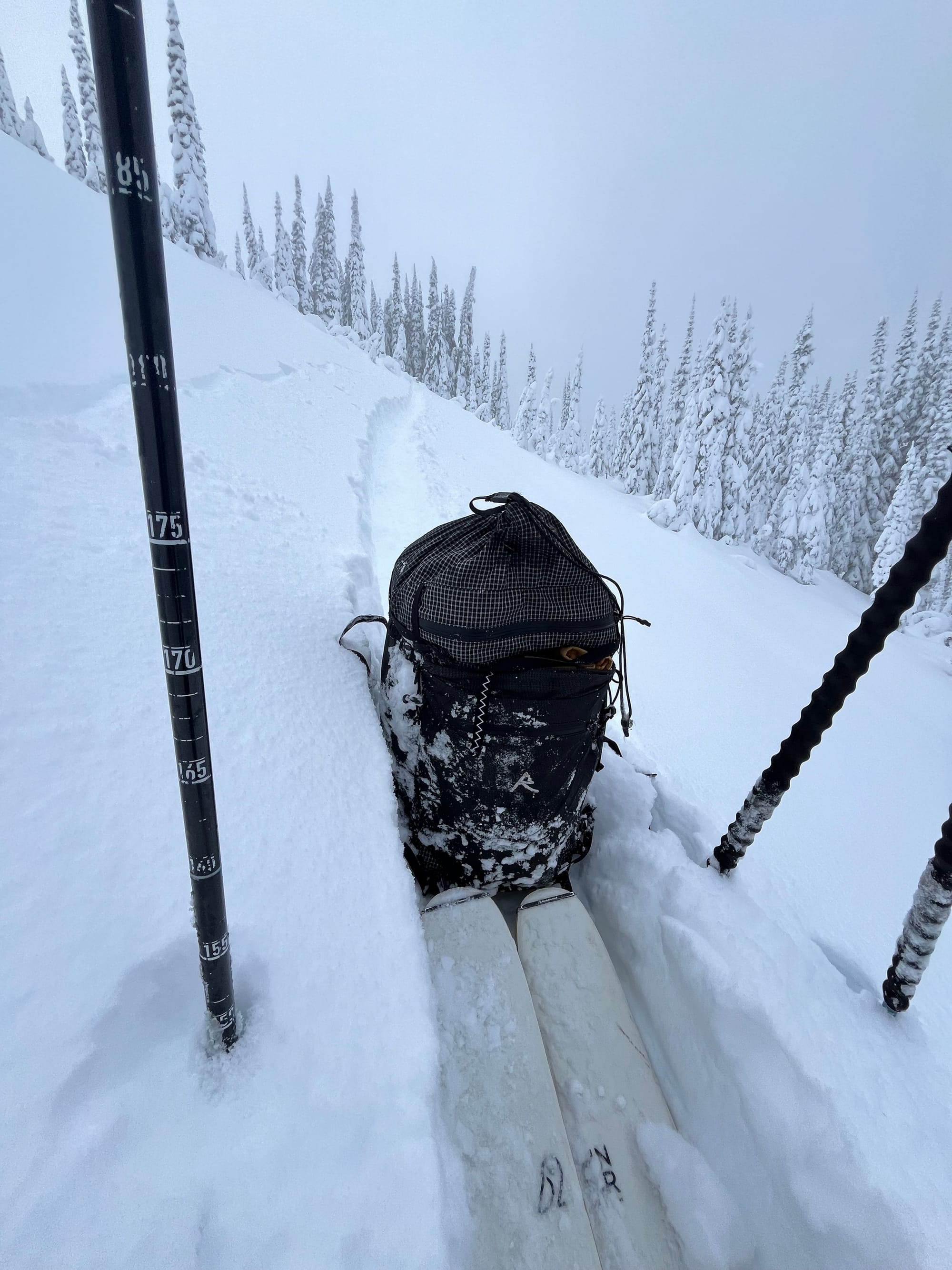
Deep trail breaking has been the theme of the week, with ski penetration of 30-60cm and foot penetration of 70-90cm. What does that mean? It means that the upper and mid snowpack is relatively unconsolidated and rocks, stumps, logs etc are still easy to hit even though they are buried by snow. In the alpine in the Kootenays, the mid-pack is more consolidated as there has been a fair amount of wind associated with the recent storms.

Avalanche Problems
Noteworthy avalanche problems are storm slabs in immediate lee features. We've seen moderate-strong SW-SE flow in the past few days which have built storm slabs in NE-NW lee features. Slab properties will increase with the warming and precipitation today and tomorrow.
November 16th Surface Hoar- Yesterday in the Slocan Range, it was reactive to skier traffic and was found down 30-50cm in open below tree line and tree line features. Here is a Mountain Conditions Report about it.
Outlook

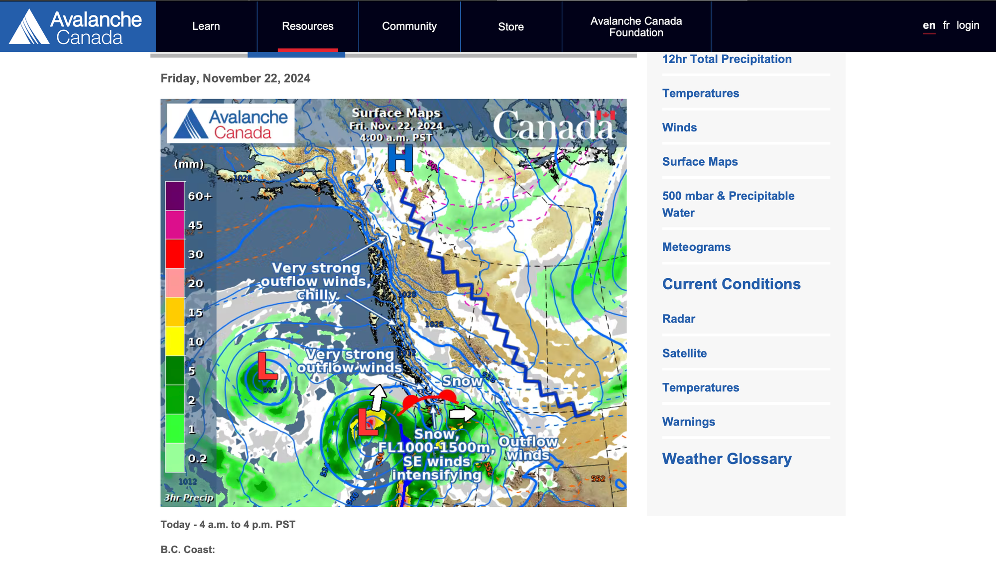
We'll see precipitation and elevated freezing levels today, with more precipitation in the Kootenays than around Rogers Pass. With a strong low to the southwest and ridge of high pressure to the northeast, expect variable and strong winds as the two duke it out. Have a look at Avalanche Canada's Moutain Weather Forecast. As the weekend progresses, there will be a clearing and cooling trend as the ridge establishes itself; however it looks more like a dirty high, than a bonafide cold and clear snap. Rogers Pass extended forecast.


Member discussion