
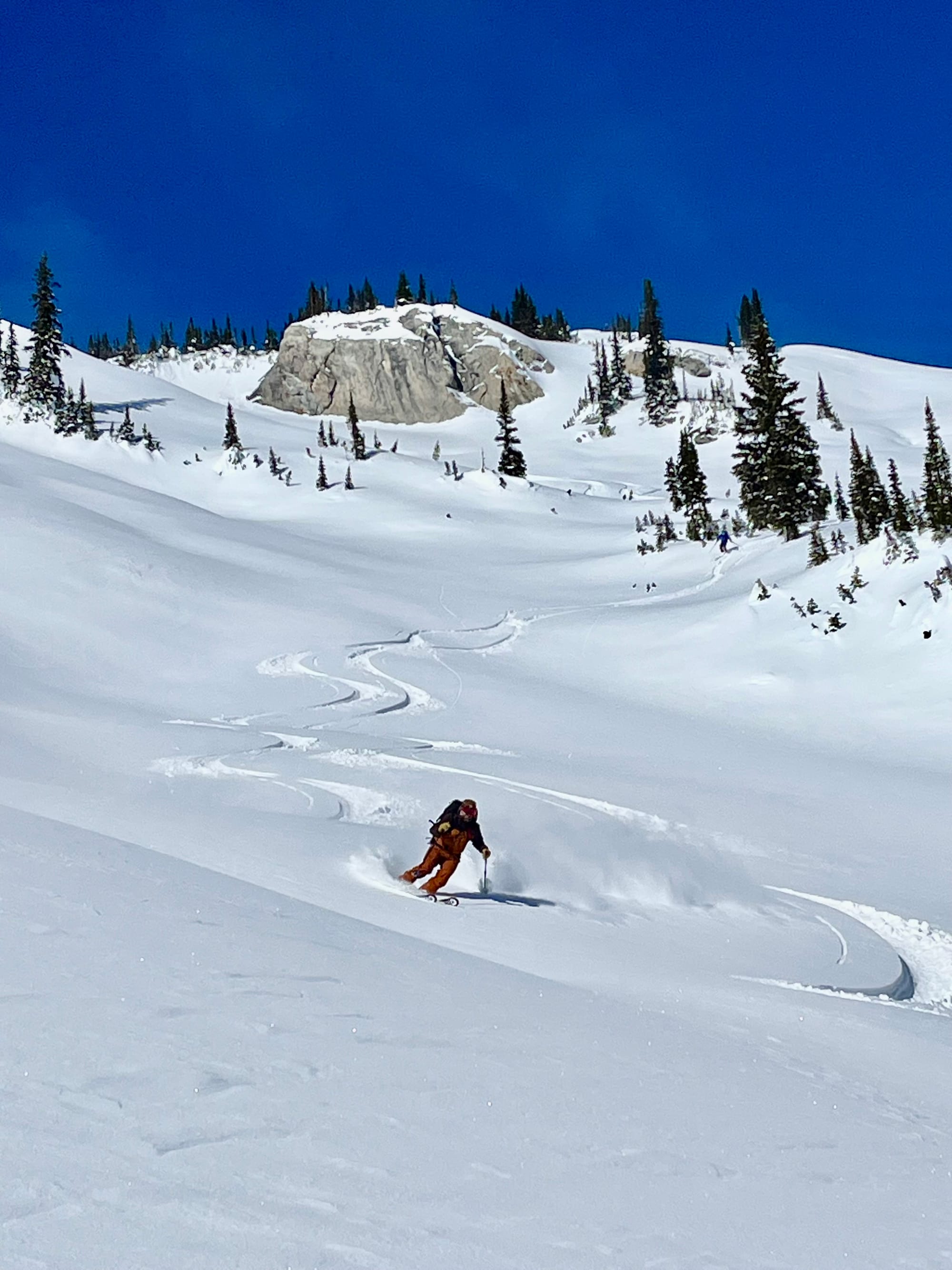
Snow!!
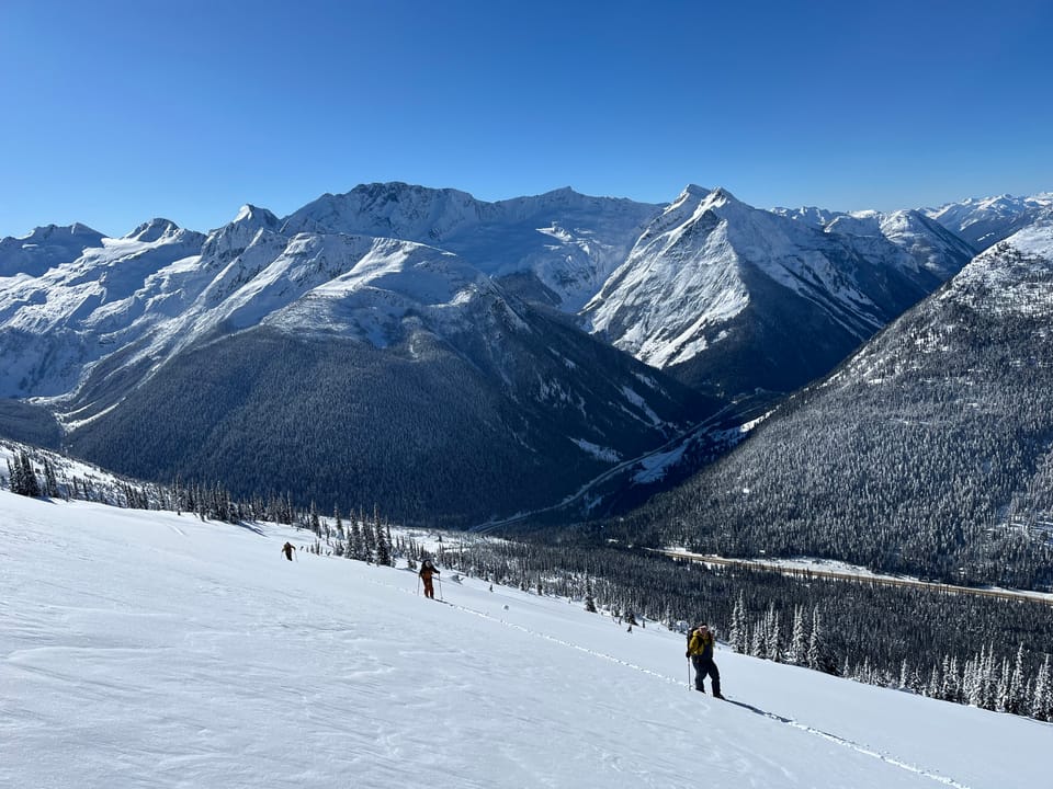
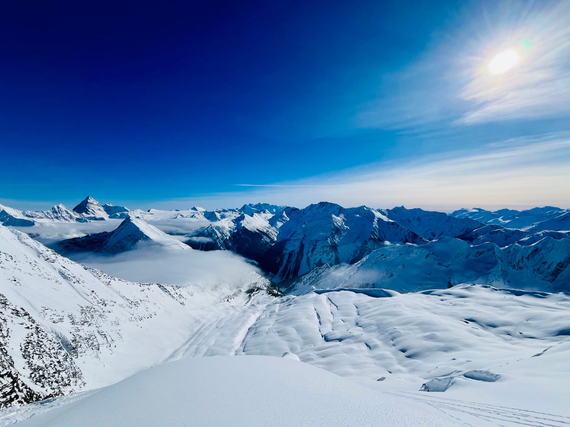
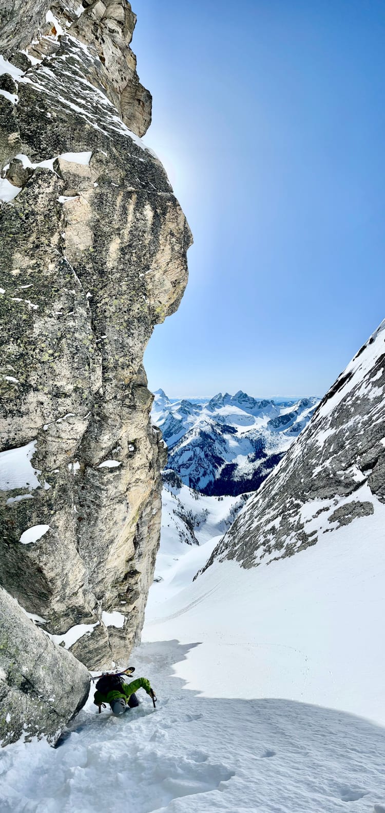
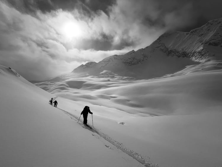
Cold temperatures have persisted over the last week, making for great skiing in the sun and cold valley bottom approaches. There has been a bit of a reprive from the cold of over the past couple of days with temperatures in Rogers Pass increasing to daytime highs of -10. This warming was associated with 10cm of snow in the past two days. The Kootenays have faired even better with 21cm of new snow and more moderate temperatures of around -8.
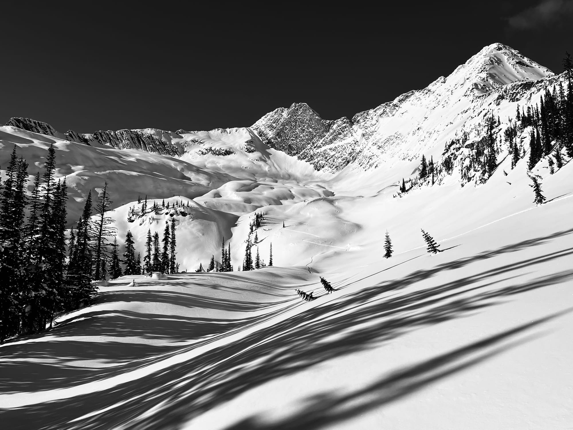
The upper snowpack in both the Kootenays and around Rogers Pass is faceted and was topped by surface hoar in sheltered locations. While we've enjoyed another awesome week of skiing and good stability, times will change as storm snow starts to stack up in the future. On solar aspects, the 20-30cm of fist facets overlie the Jan 30th 3-5cm melt freeze crust with fist+ facets below it. On north aspects, the Jan 30th surface hoar/facets are still well preserved in areas that didn't avalanche during the early February storm cycle. There is a high probability this interface will rear its head as more load is applied to it. South aspects could be particularly spooky.
Currently the Mt Fidelity snow study plot sits at 189cm. While Kootenay Pass is showing 188cm at the highway. Both are trending towards another low snowpack year. Let's hope for a big spring!
Last week there were a number of human triggered avalanches in the Powder Highway region, which goes to show if you go hunting for an avalanche, you can still trigger one even when the hazard is moderate/low:
Snowpack Concerns
Jan 7/10, 16, 21, 30, Feb 14 10-20 cm of new snow has fallen on top of the February 14 SH/ FC/MFcr. This overlies 15-30cm of faceted snow on top of January 30 surface hoar/ facet and melt freeze interface. Below that the earlier surface hoar/facet and crust layers can be found in the upper snowpack.
Basically the upper snowpack is a pile of junk. Expect persistent slab issues in the next month if we get consistent precipitation
Windslab
Variable winds have created wind slabs in exposed alpine and tree line features. The new snow has fallen with light winds, but there could be wind deposition on lee features which will have bonded poorly with the substrate.
Outlook
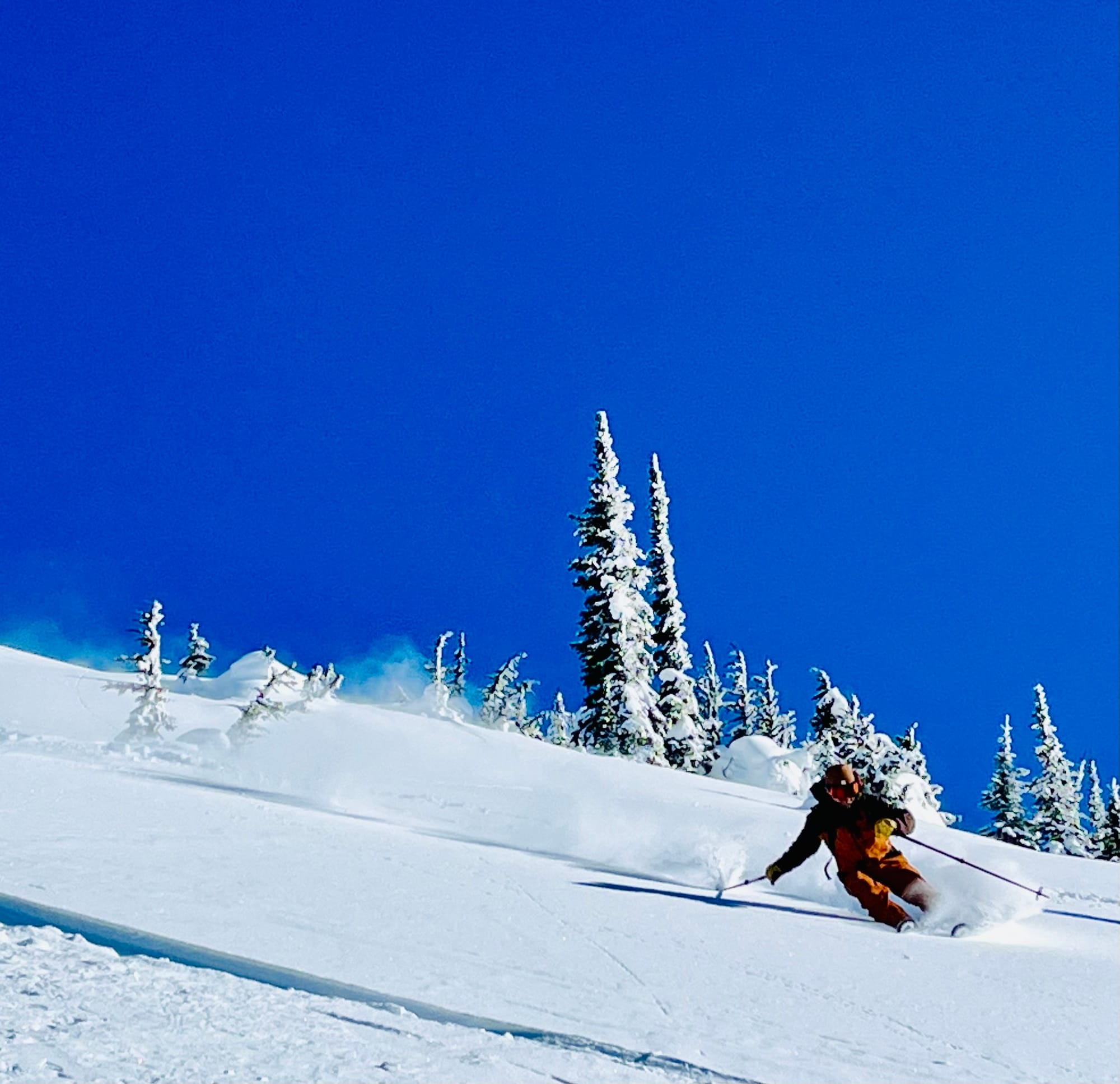
Temperatures will moderate over the week with continued precipitation. Models are mixed, but this one shows 60cm in the next ten days: Check out this 10 day model. The January 30th interface will wake up. Currently there are no slab properties in the snow overlying it. Once there is a slab, avalanche hazard will rise. The facets overlying the crust on solar aspects will be particularly spicy. In the meantime, enjoy the fantastic skiing out there!
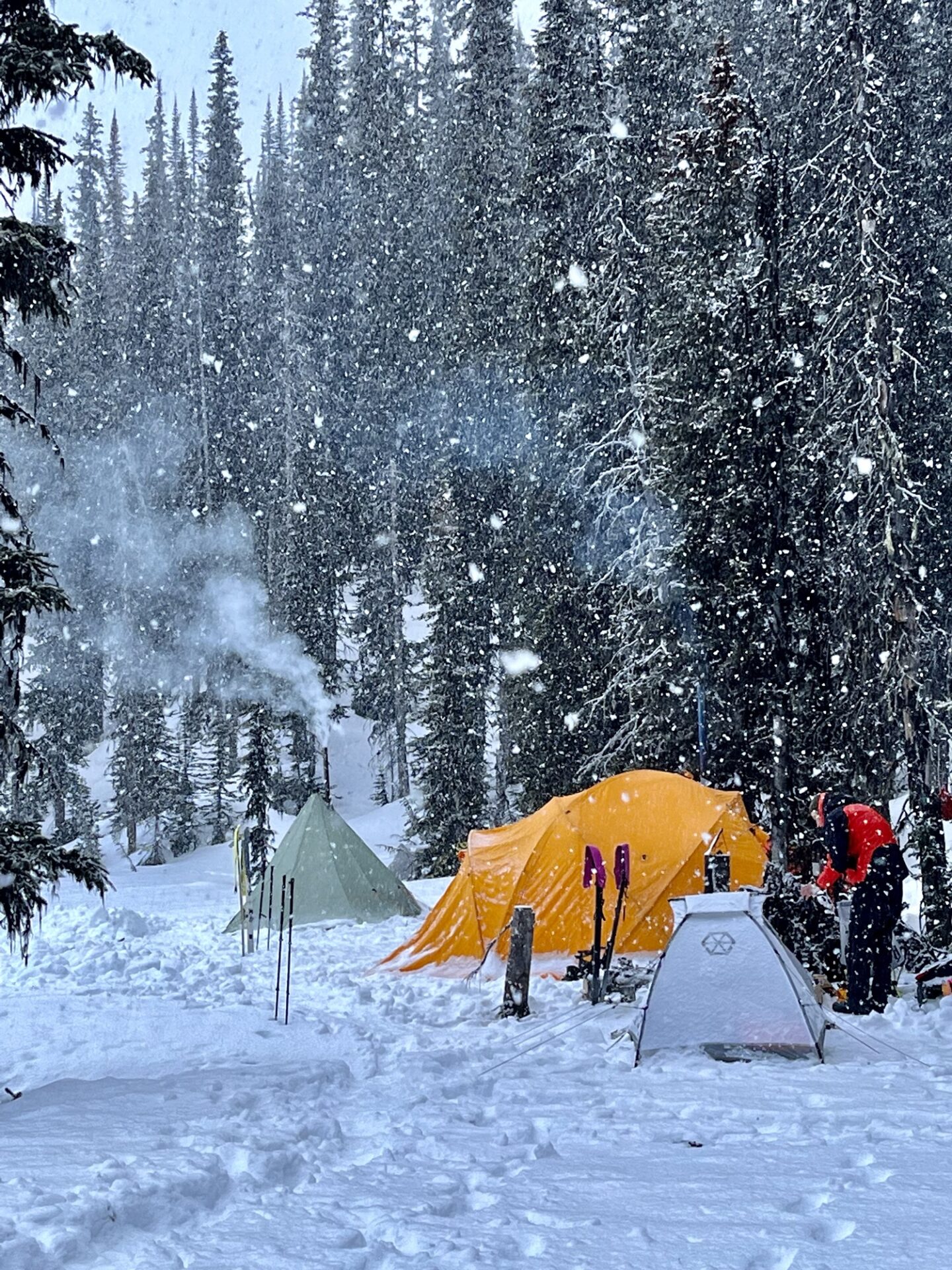
Upcoming Trips
Backcountry Basecamp X Tuft Camp for Endurance Athletes
April 3-7, 2025 $3176CAD + Tax
Five Spaces Left
One spot left
Member discussion