That was a tough week--
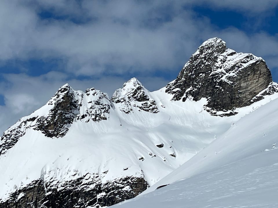
After an incredible week of powder skiing, the temps sky rocketed and the rain fell. The weekend before last brought significant precipitation in mixed forms with elevated freezing levels, which yielded a significant avalanche cycle. Sadly, it claimed the lives of three people. Over the course of last week, the freezing levels remained high for the better part of the week, with peak heating occurring last Wednesday; this too yielded a large avalanche cycle. The rain soaked snowpack and persistent layers in the upper and mid pack were no match for the intense solar radiation.
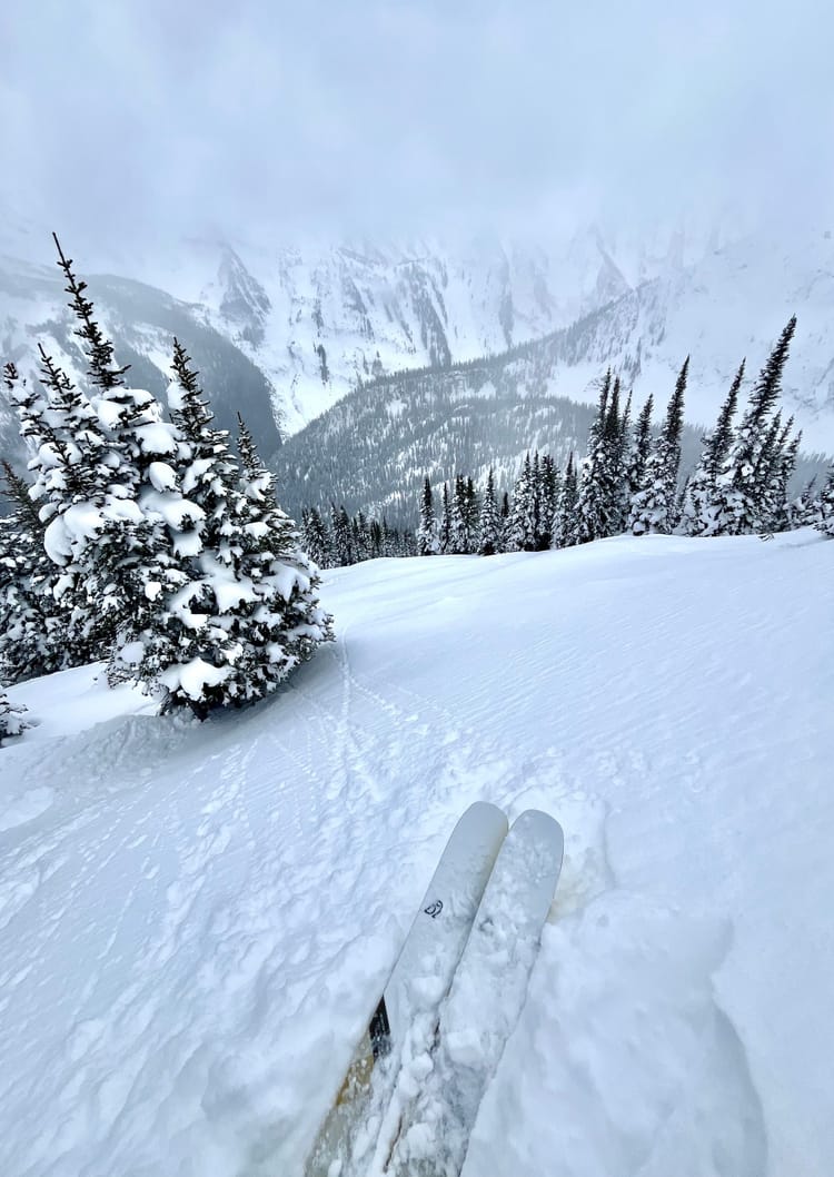
Heavy precipitation continued on Thursday and into Friday as the freezing levels crept slowly down, however, they still remained relatively high; we encountered moist powder at 1700m in the Valhallas the other day. Below that the top 60cm was saturated by rain. By the time I finally got back on skis, I observed a semi-supportive soft (pencil -) crust below 20-30 cm of moist to dry snow above 1700m. As you got higher the crust stiffened with cooler temperatures.
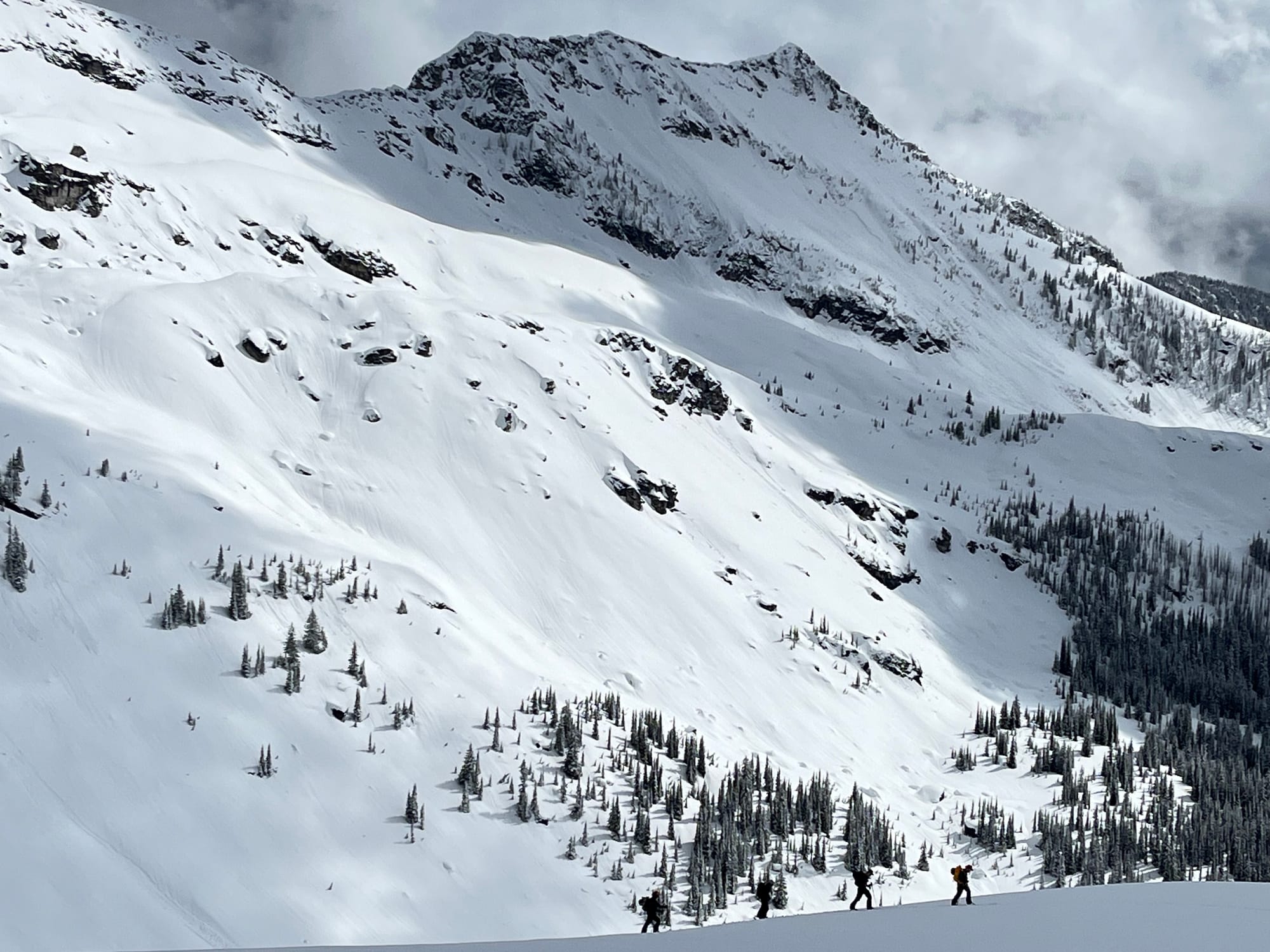
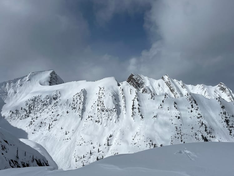
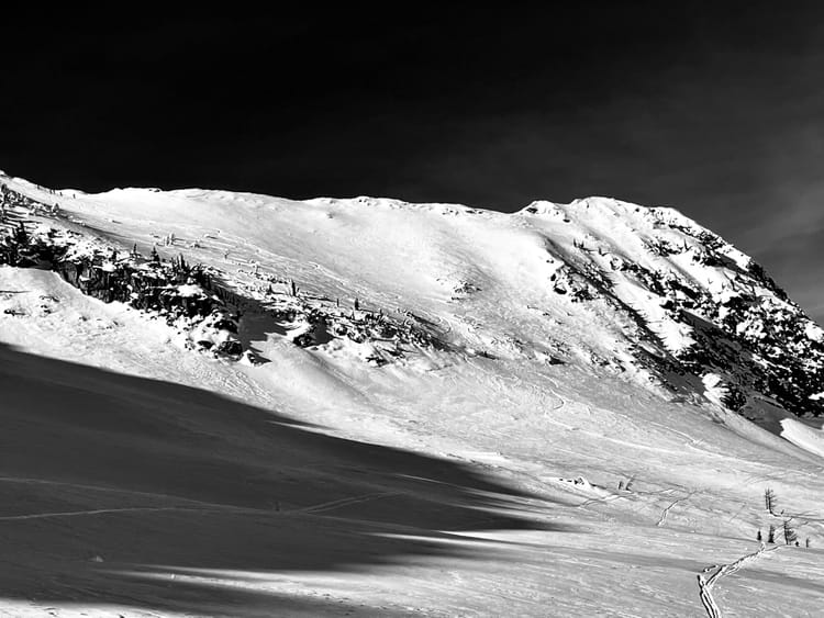
As the skies cleared evidence of the widespread avalanche cycle was extremely apparent. Crowns and debris piles were omnipresent as you looked around. While the snowpack seems to be healing, the upper snowpack was still quite sensitive to solar input and steep rocky features were shedding as the sun moved across the sky. It was evident that it probably rained close to mountain top in the Southern Valhallas.
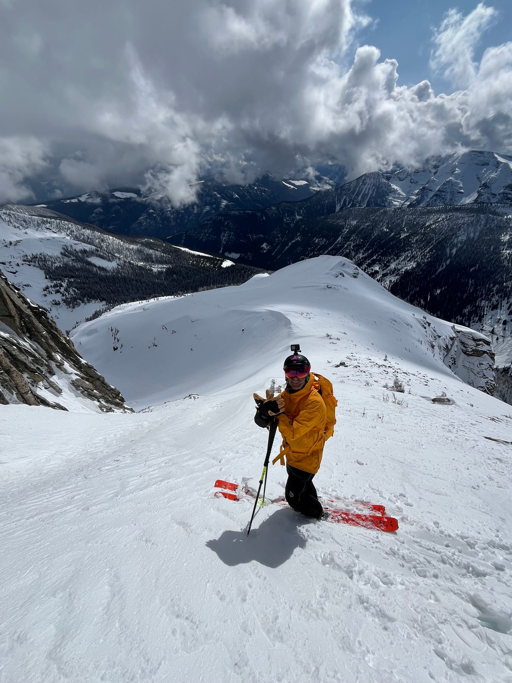
Snowpack Concerns
Wet Loose/ Wet Slab With the intermittent precipitation and solar radiation wet avalanches will be an issue on solar aspects.
Jan 30/ Feb 16 SH/FC/ MFcr are down 160-120cm in the Central Selkirks and were the primary failure plane for many of the large avalanches in the past couple of weeks. While they are generally outside of the human triggering range, large loads such as cornice failures, rapid loading and wind transport could still trigger these layers and produce large, unsurvivable events. Hedge your bets and stay clear of large avalanche paths in periods of warming or rapid loading.
Wind Slabs Recent snowfall has come with a lot of wind in the moderate to strong end of the spectrum. Localized winds have been all over the map, but generally there are wind slabs in immediate lee features and other wind affected areas.
Cornice With all the wind, snow and moderate temperatures, cornices have grown significantly and have been producing decent sized avalanches, by triggering storm slabs and persistent slabs upon impact.
Outlook
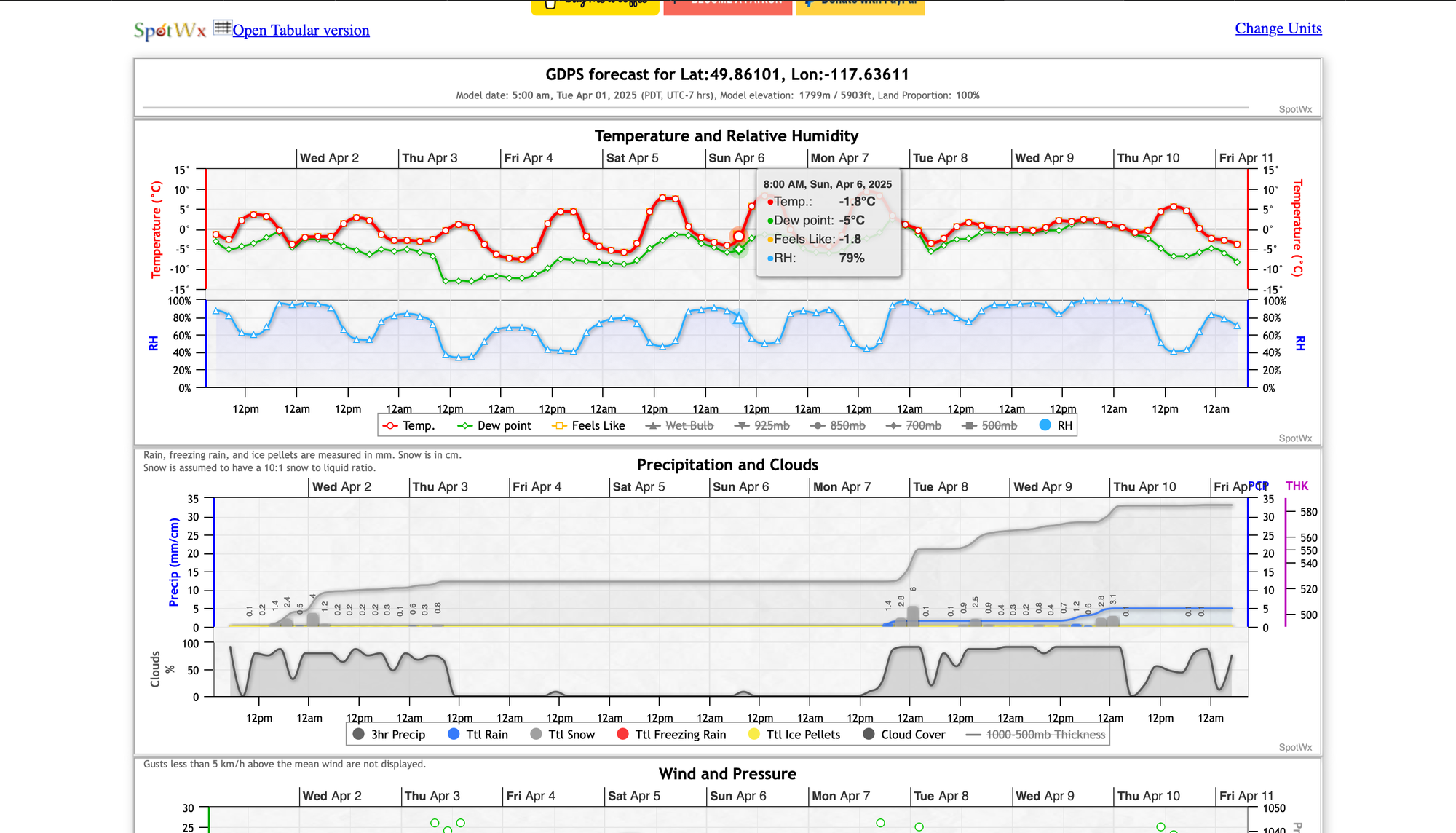
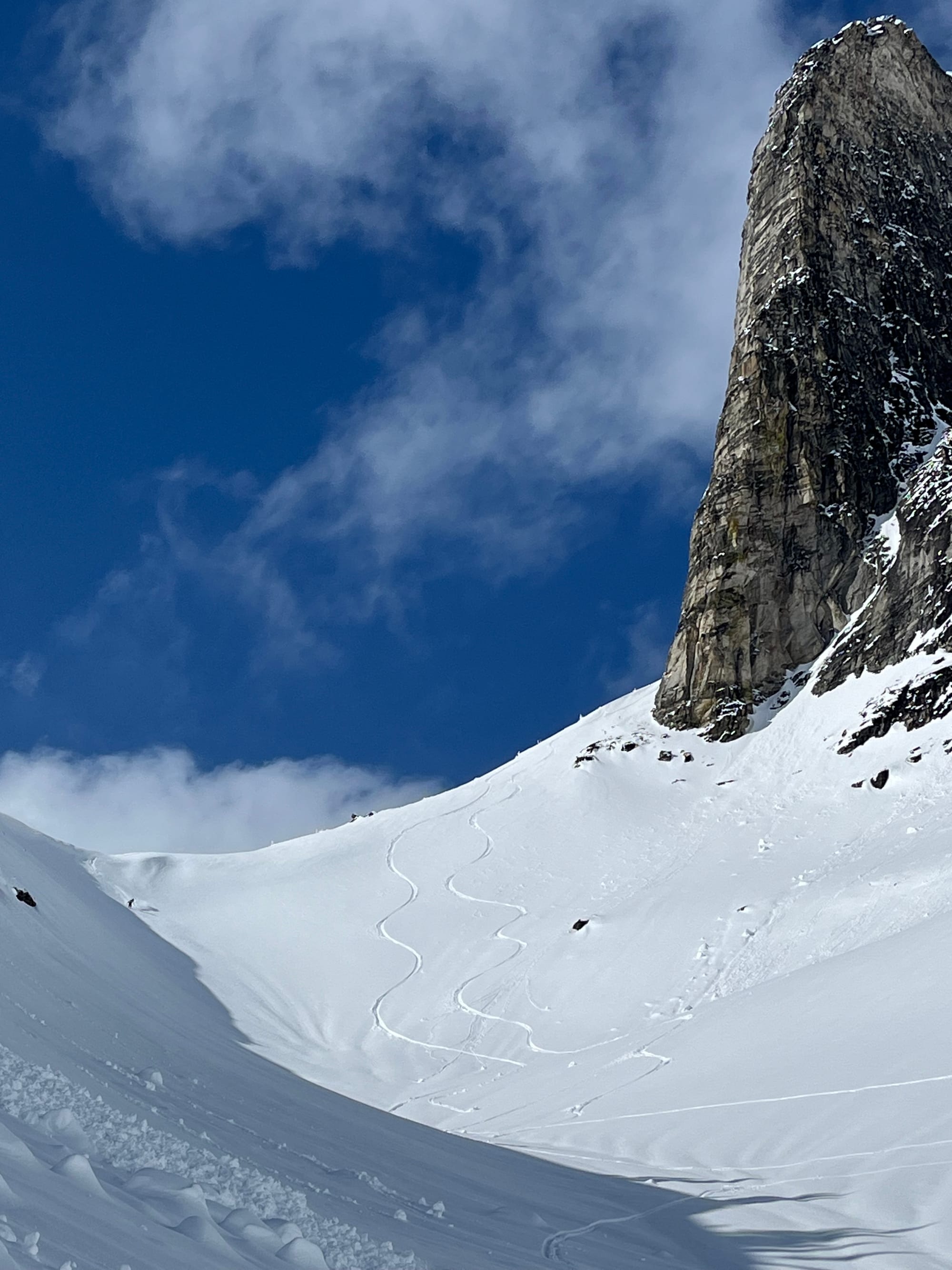
We're heading for a stretch of nice, albeit warm weather over the next week. This is the second to last conditions report for the season, as we're taking operations over to Norway to round out the season; but not before heading deep into the Valhallas for a ski accessed basecamp.
Upcoming Trips
Golden Alpine Holidays Meadow Lodge January 16-23, 2026
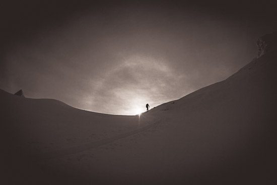
HUT TO HUT SKI TRAVERSE PATAGONIA ARGENTINA September 14-21, 2025
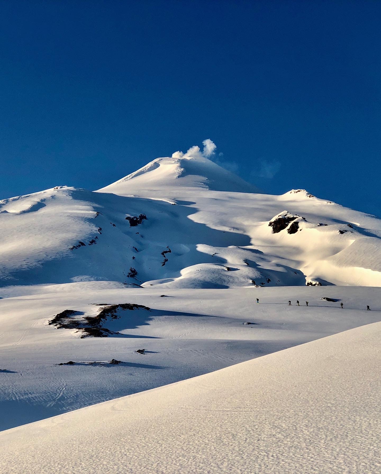
VOLCANO SKI MOUNTAINEERING IN CHILE
September 26-October 4, 2025 and October 7-15, 2025


Member discussion