
The Best Powder Skiing of the Season
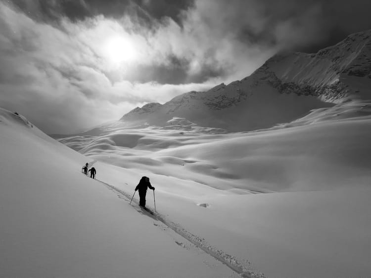
People often ask when is the best time to ski in BC; well, it varies. This year January and February were cold and dry and March has provided some of the best powder skiing of the season. Consistent snowfall and reasonable freezing levels have yielded exceptional conditions again this week. However, the snowpack is still challenging. The unsettled weather has come with wind and periods of sun, which have created wind slabs in immediate lee features and melt freeze crusts on solar aspects.
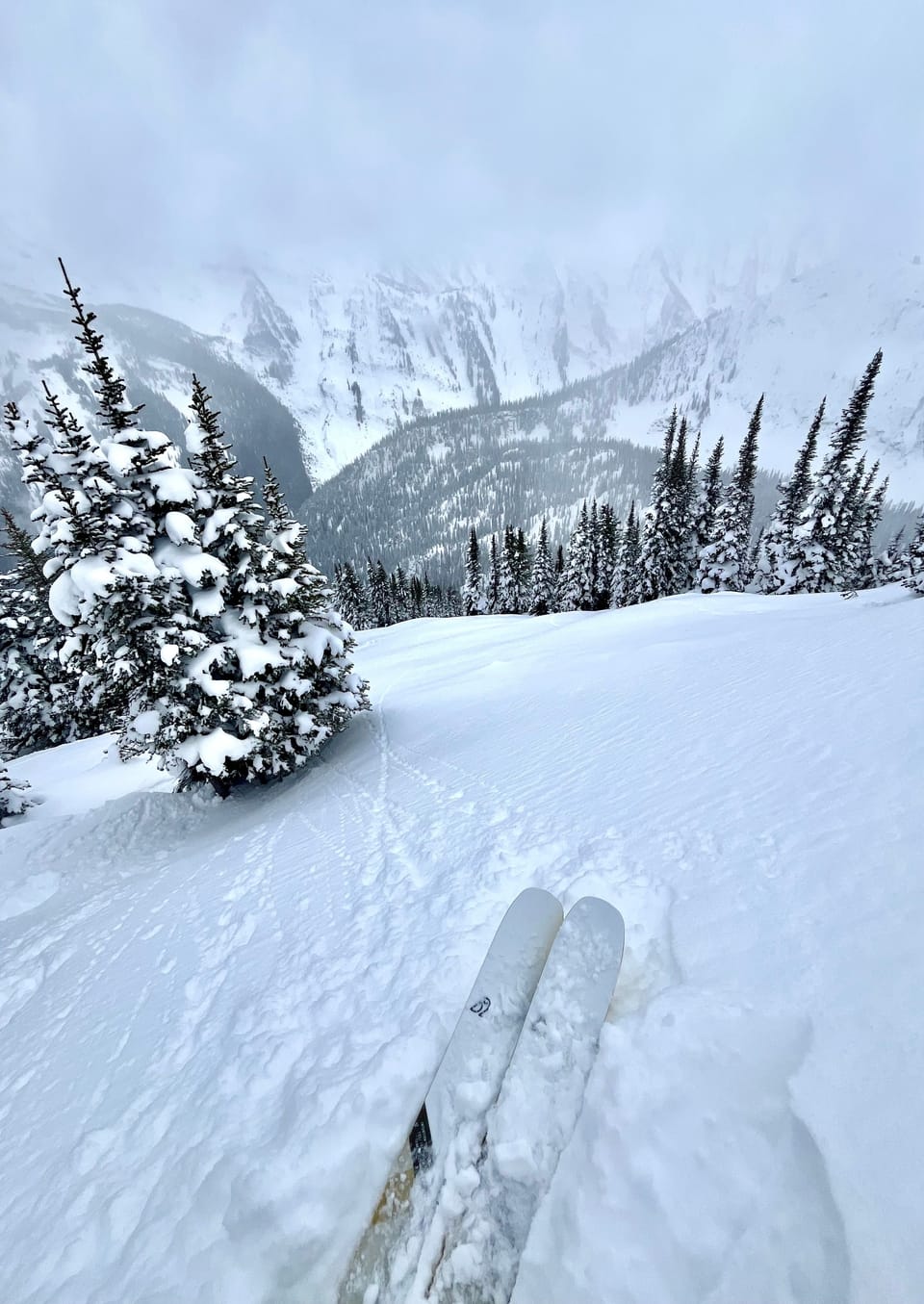
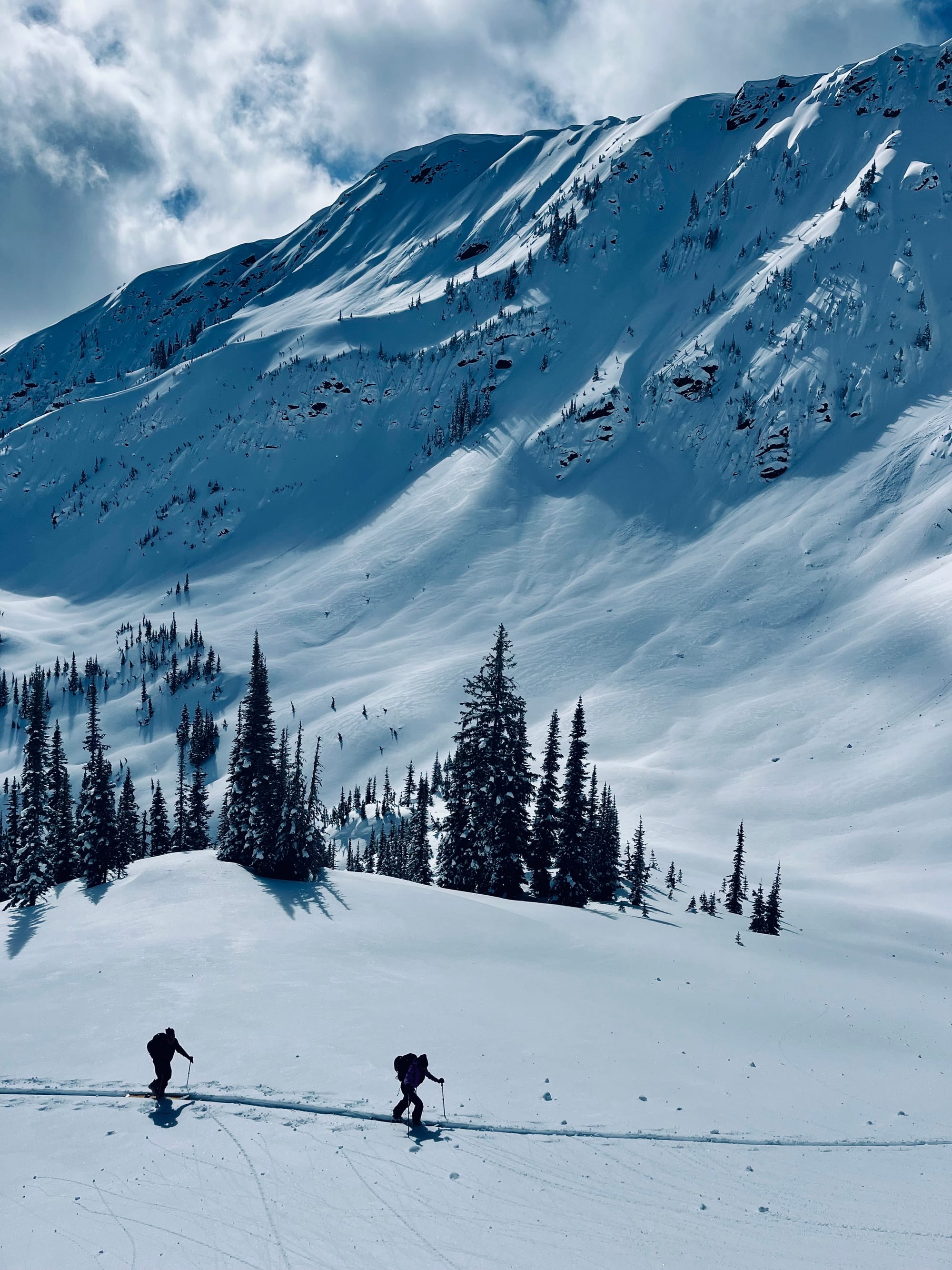
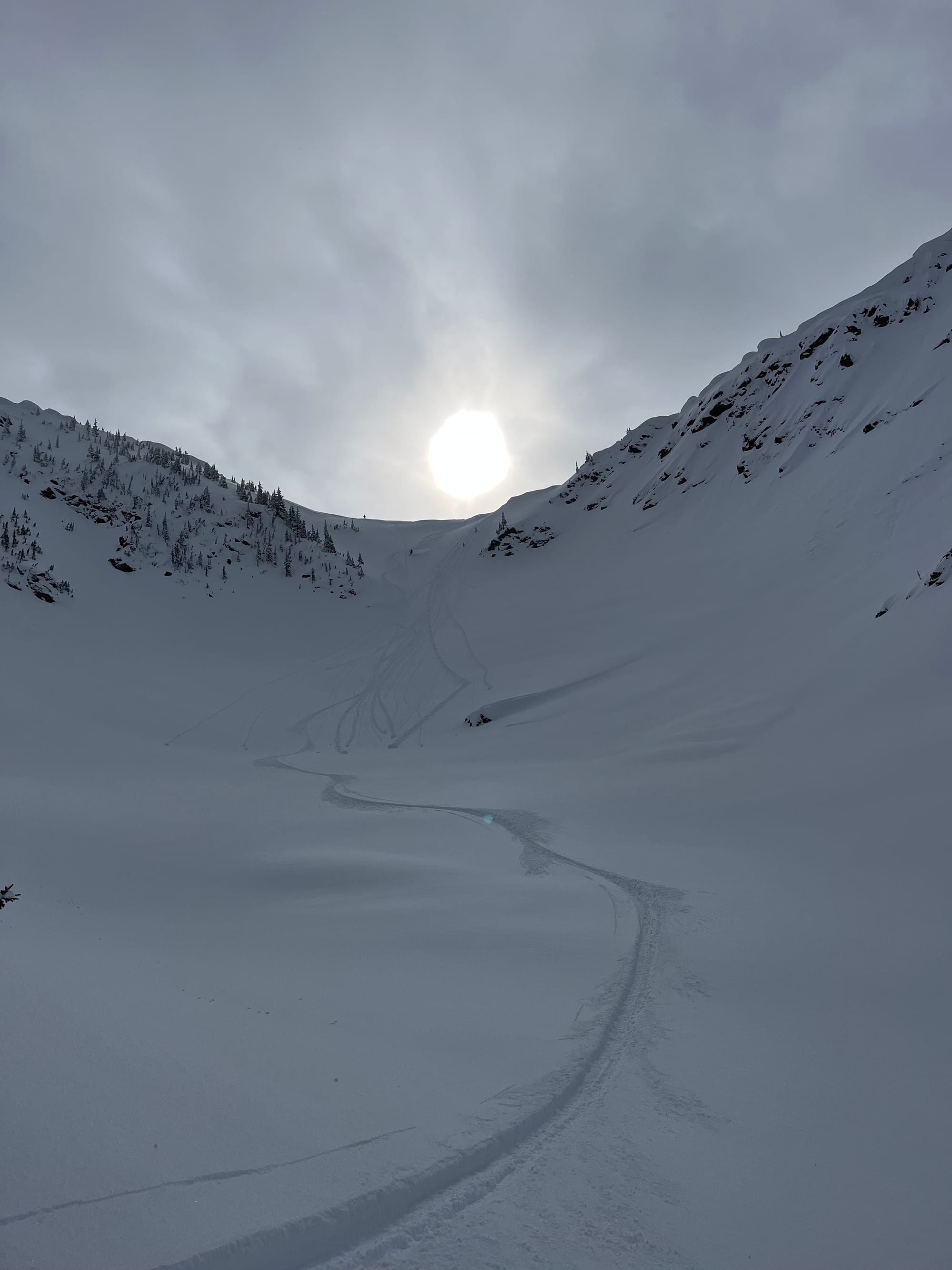
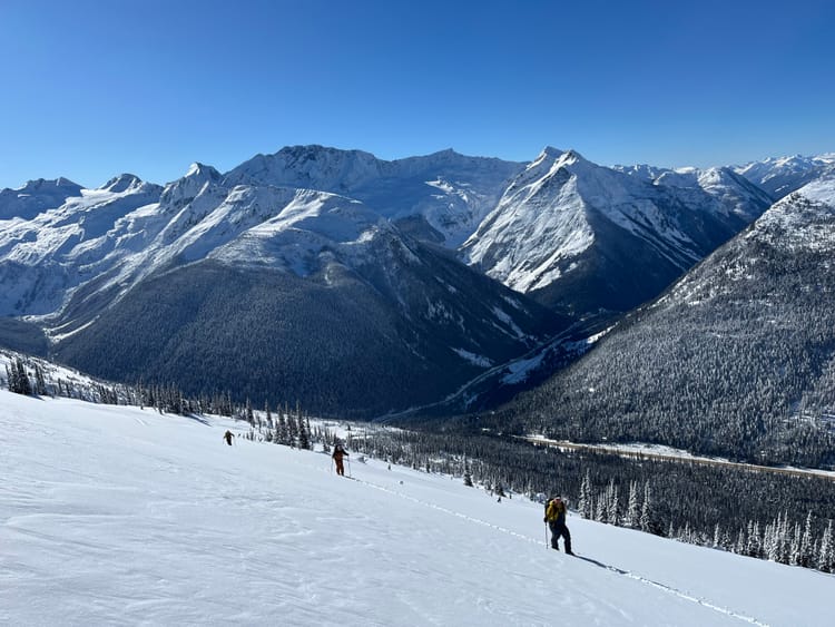
Last week was spent at the Hemlock Hut just outside of Revelstoke, where we found excellent skiing on all aspects. On March 16th, a MFcr formed on ESE-S aspects and was subsequently buried by 40-50cm of storm snow by the time we left. The storm snow was mildly reactive on this interface; and produced sloughing in terrain over 35 degrees. By Friday, we were avoiding wind affected areas and start zones as the storm snow was a starting to form a cohesive slab. We also observed preserved 3mm surface hoar (March 6 interface) on a west aspect which overlay a MFcr at 2150m.
Snowpack Concerns
Storm Slab The current Pineapple Express is dumping heavy loads of precipitation in the mountains right now. Expect to see storm totals in the range of 50-70cm by Monday. This new load of snow will also be associated with elevated freezing levels of up to 3200m by Wednesday.
Jan 30/ Feb 16 SH/FC/ MFcr are down 160-120cm in the Central Selkirks and were the primary failure plane for many of the large avalanches in the past couple of weeks. While they are generally outside of the human triggering range, large loads such as cornice failures, rapid loading and wind transport could still trigger these layers and produce large, unsurvivable events. Hedge your bets and stay clear of large avalanche paths in periods of warming or rapid loading.
March 5 SH/FC/MFcr Can be found down 50-100cm in Glacier National Park and deeper in the Monashees and shallower further south in the Kootenays. This interface seems to be healing with the warm temperature and significant load that has been applied to it over the past week.
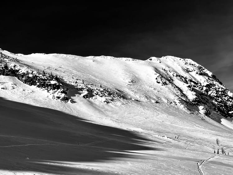
Wind Slabs Recent snowfall has come with a lot of wind in the moderate to strong end of the spectrum. Localized winds have been all over the map, but generally there are wind slabs in immediate lee features and other wind affected areas.
Cornice With all the wind, snow and moderate temperatures, cornices have grown significantly and have been producing decent sized avalanches, by triggering storm slabs and persistent slabs upon impact.
Outlook
The pineapple express will be followed by a warm clearing trend with elevated freezing levels: mountain top 3200m. Here is the Avalanche Canada Mountain Weather FX Ultimately, this warm up will be a good thing as it will give the snowpack a real load followed by some heat; this will hopefully settle out some of the deeper instabilities and set us up for a solid stint of skiing in April.

Upcoming Trips
Golden Alpine Holidays Meadow Lodge January 16-23, 2026
HUT TO HUT SKI TRAVERSE PATAGONIA ARGENTINA September 14-21, 2025

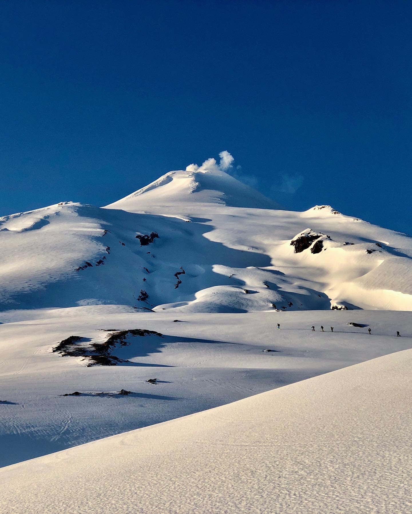
VOLCANO SKI MOUNTAINEERING IN CHILE
September 26-October 4, 2025 and October 7-15, 2025
Member discussion