What Happened to all the La Niña Hype?
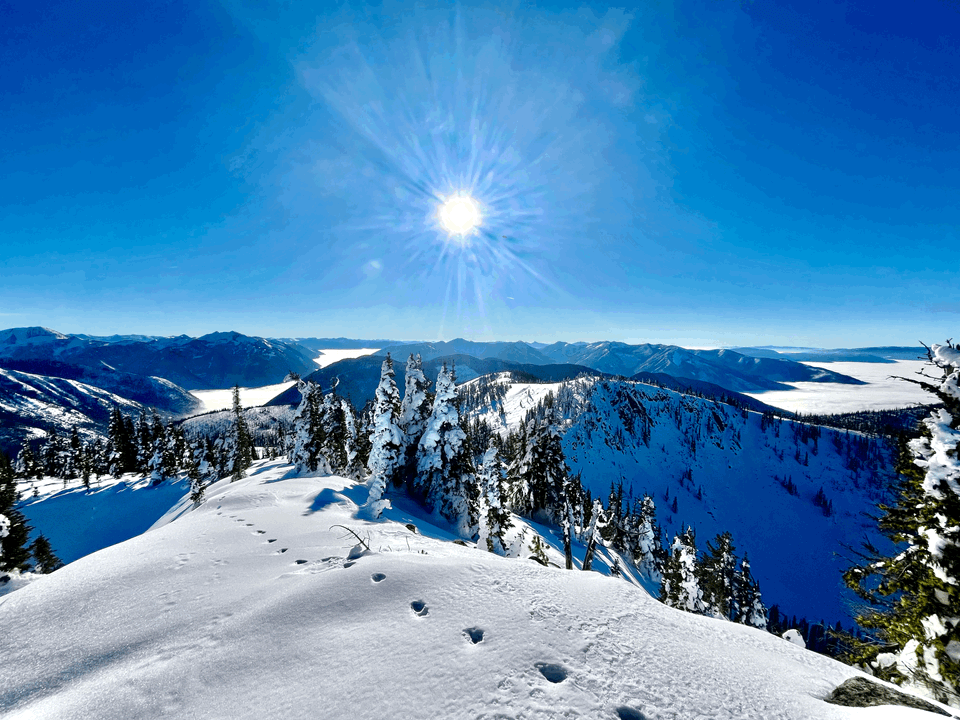
November went out like a lion--kind of. We had a fair bit of precipitation in November and it seemed like we were on the right track. Consistent storms, reasonable freezing levels made for a decent base. Right now, in the Central Kootenays, typical height of snow above 1700m ranges from 100-140cm. Rogers Pass is similar, though higher elevations have 2-2.4m of snow on the glaciers. HS is variable in the alpine and typically windy places are boney and scoured. For all the hype that the ski industry has been making about La Niña, we are just barely ahead of last year. Here’s a look at RMR’s historical snowfall records.
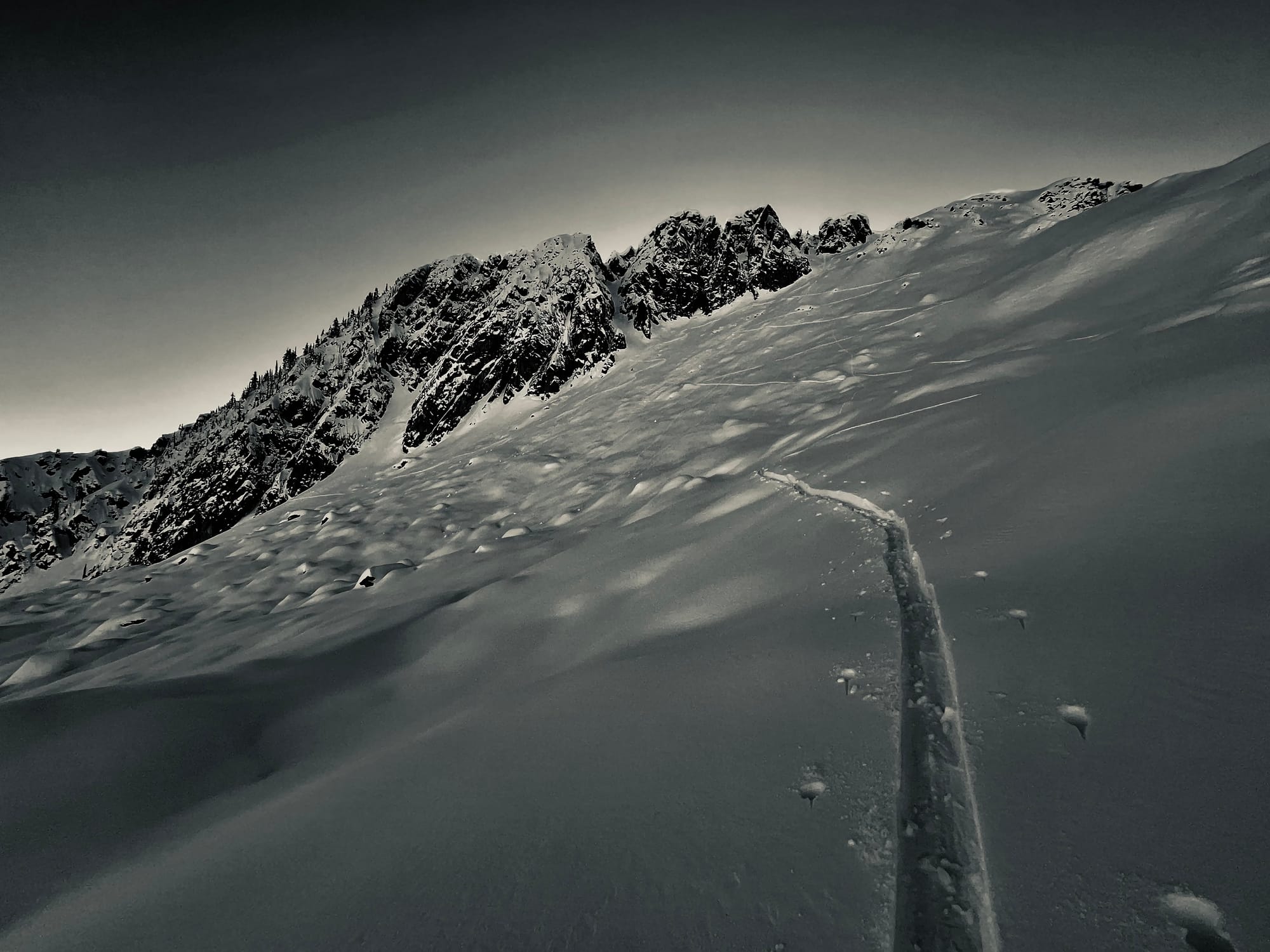
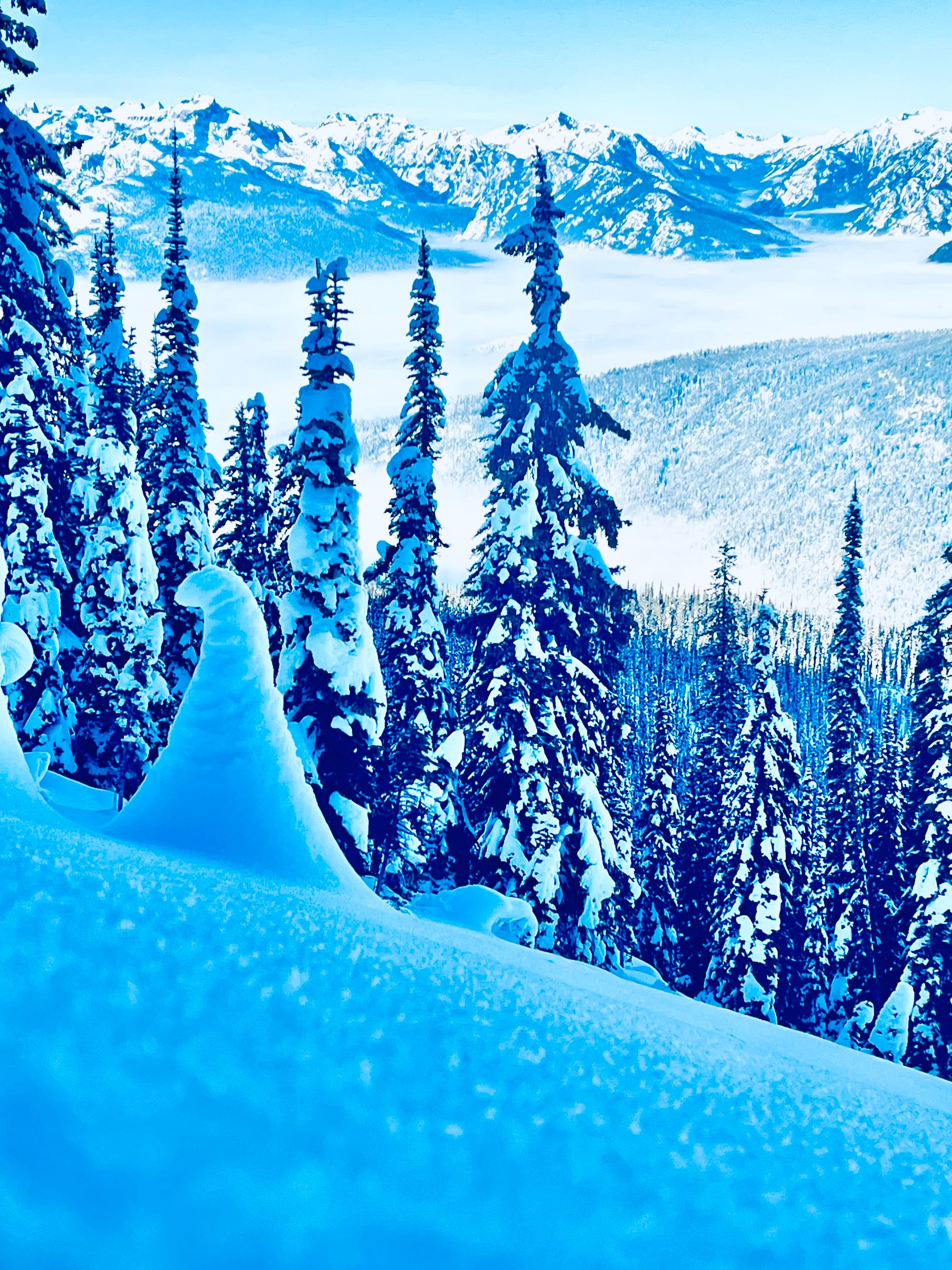
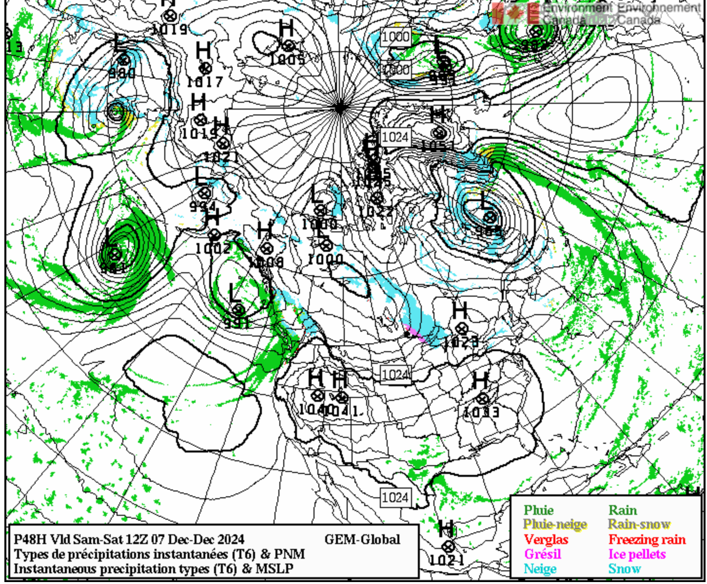
Since November 27, we've been omega blocked; a blocking ridge of high pressure has protruded north from the States and has ushered in dry conditions. Rogers Pass received a bit more snow than the southern Selkirks last week due to its proximity to the northern frontal boundary; however it too has been warm and dry this week. If you've been in the valley bottoms, you may have noticed the skies have been cloudy this week. Valley cloud tops have been sitting at about 1500-1700m and the past four days there has been a warm air mass sitting on top of the cold air in the valleys.
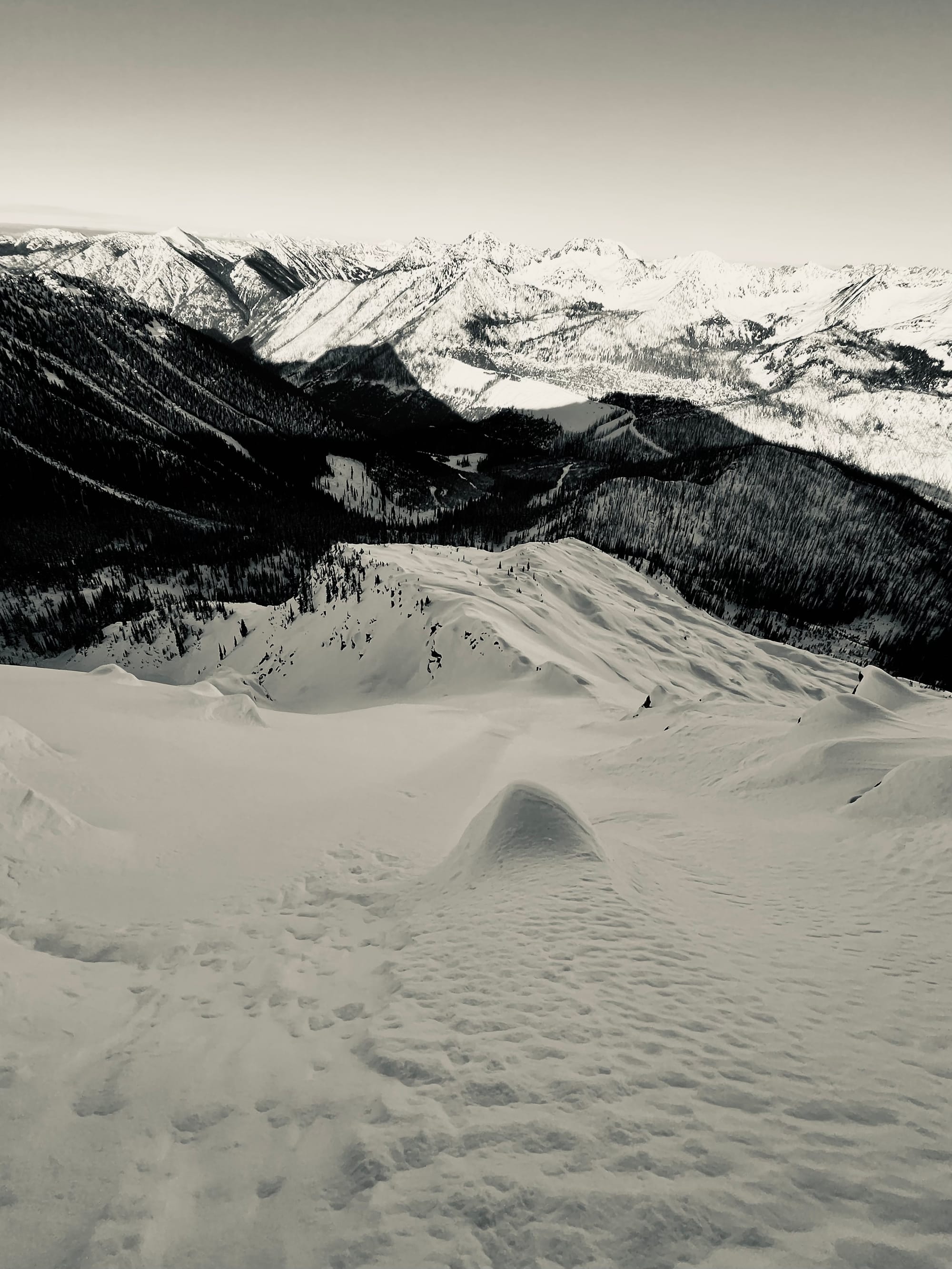
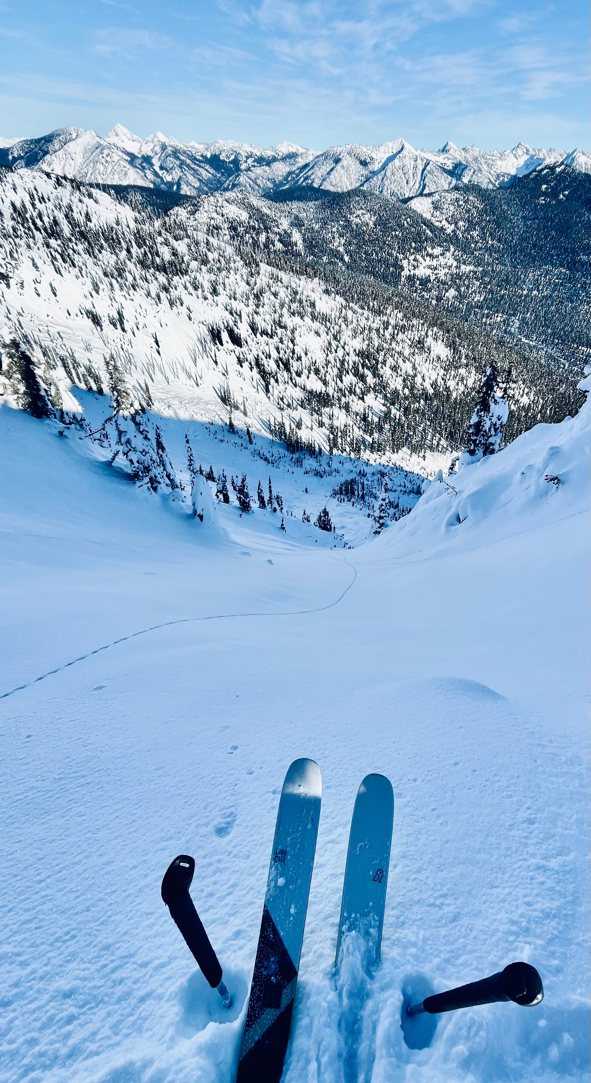
Ski quality and stability has been fantastic on sheltered north aspects. The late November storm snow settled out and with the absence of wind, there's been plenty of surfy facets to ski. The snowpack has tightened up and is carrying rider traffic really well. The only places that are still punchy are rocky areas and ridges. Bootpacking this week has been good with a 30 cm foot penetration except for rocky areas where it was still punch and wallowy. Solar aspects have developed a melt freeze crust due to the warm temperatures and solar input.
While the coverage is decent and the snowpack is supportive, there are still lots of early season hazards lurking. Open creeks, rocks, logs, branches are all still quite apparent. Skiing carefully is still my MO.
Outlook
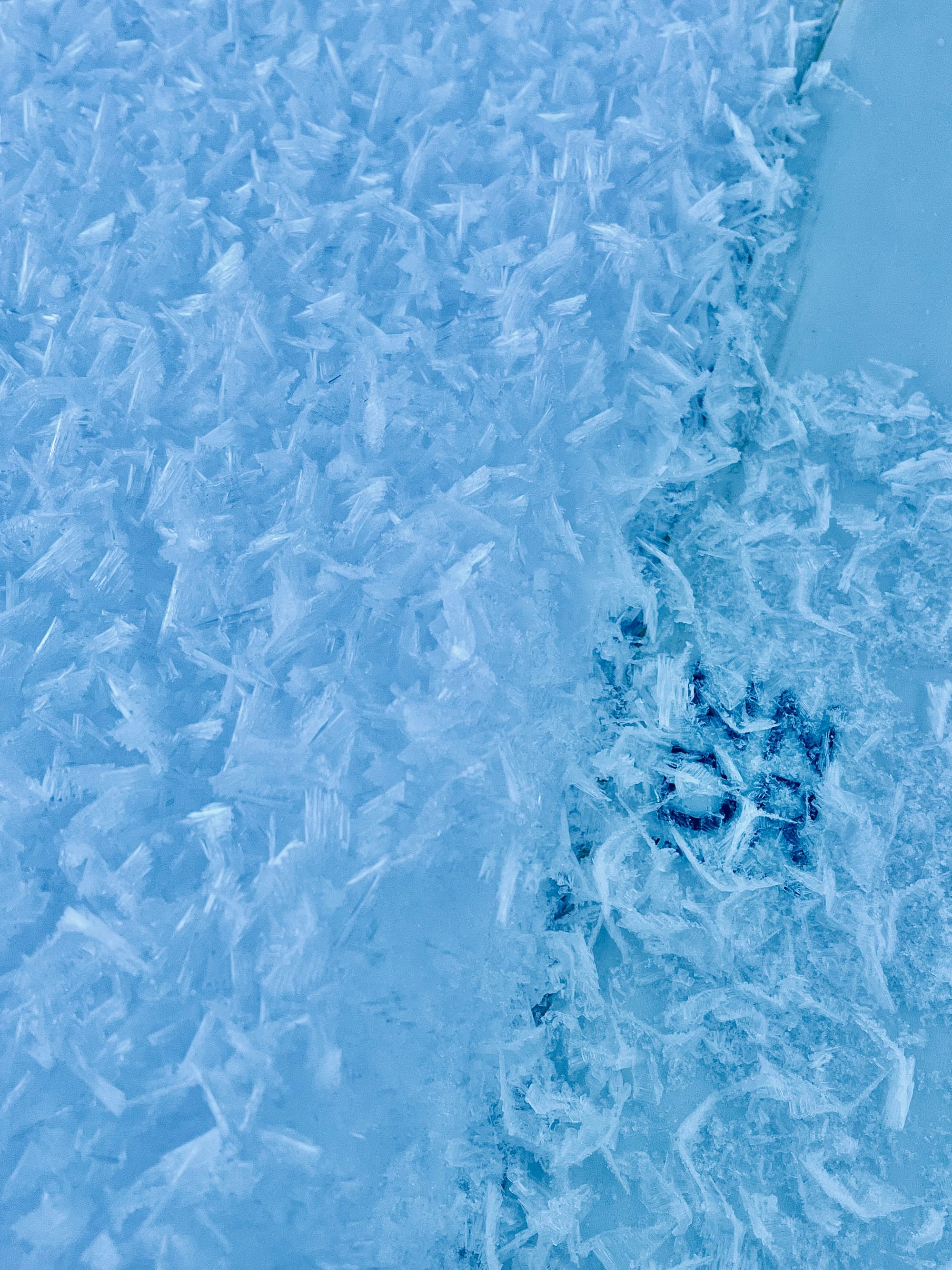
Clear skies, warm/cool over night humid air and virtually no wind has created optimal conditions for surface hoar growth. It's been observed to mountain top across the Powder Highway region. Alpine features that have had more wind, have 10-15cm of facets sitting on top of one finger snow. On solar aspects, there is surface hoar (to 10mm) sitting on top of a 2cm pencil melt freeze crust. The distribution of this layer is widespread and will create a substantial avalanche problem for the remainder of December and into the New Year depending on how much precipitation we get.
Weather Forecast
There is a decent amount of precipitation on its way this weekend. Hopefully it comes with a fair bit of wind and knocks some of the surface hoar down in the alpine. Check out Avalanche Canada's Mountain Weather FX for the details.
Trip Availability
Norway Ski and Sail There are two spots available on our April 14-21, 2025 trip. Spring Basecamps There are a few spots available on our Coast Range and Northern Monashee Basecamps .


Member discussion